
Engineering
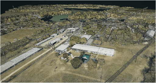
Point Density: 168 points per m^2
Height: 320m AGL
Speed: 55 knots
Data Acquisition Time: 26 minutes
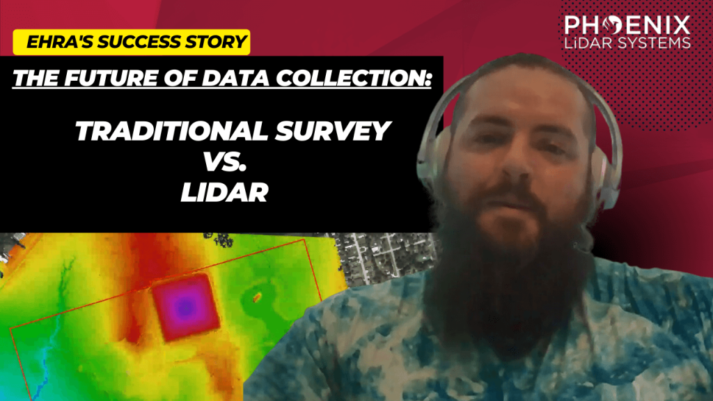
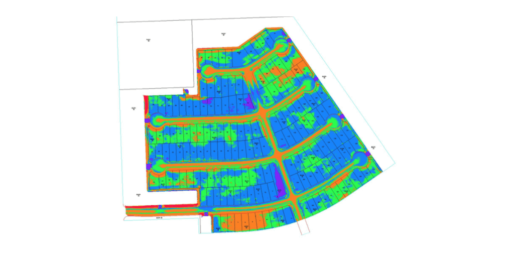
LIDAR, which stands for Light Detection and Ranging, has become a cornerstone in modern urban development. EHRA’s adoption of this technology, particularly the Mini-Ranger LIDAR system, showcases the significant advancements and efficiencies it brings to the field. The MiniRanger, known for its high-quality data collection, has been instrumental in EHRA’s ability to gather vast amounts of accurate data swiftly, transforming the landscape of urban engineering.
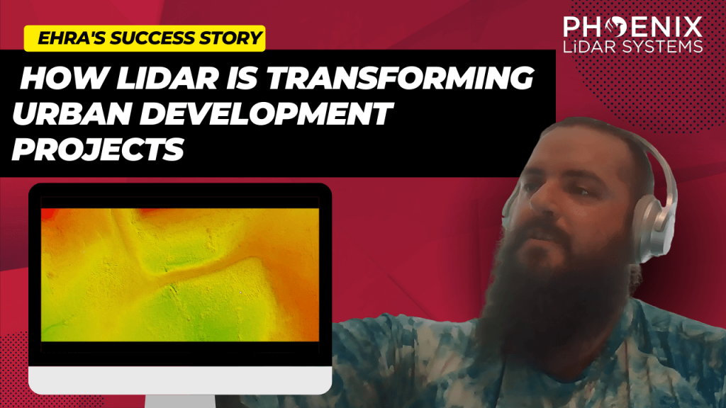
Discover the groundbreaking impact of LIDAR technology in urban development with EHRA’s innovative use of the Mini-Ranger LIDAR system. In this insightful video, we delve into how EHRA, a leading engineering firm, leverages the power of Drone LIDAR and the MiniRanger system to revolutionize urban planning and project management.
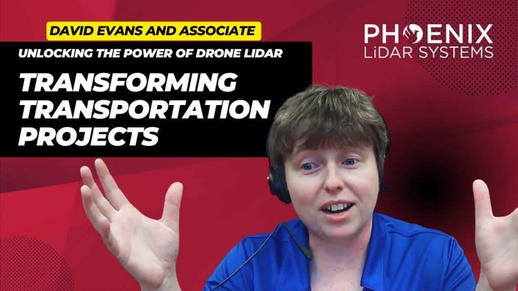
Unlocking the Power of Drone LIDAR: Transforming Transportation Projects. The world of transportation infrastructure is undergoing a profound transformation, and at the heart of this revolution is Drone LIDAR technology. This groundbreaking innovation is fundamentally reshaping the way we approach transportation projects, providing unparalleled precision and accuracy in high-precision mapping. In our comprehensive exploration, we delve into the captivating realm of Drone LIDAR. We start by unraveling the core concepts, introducing you to the technology’s essence, and highlighting why it’s becoming an indispensable tool in various industries.

LiDAR technology, a groundbreaking innovation in the realm of surveying and remote sensing, has been a game-changer for many industries. With its ability to provide accurate and detailed data, it’s no wonder that professionals and organizations are rapidly adopting this technology. Among the most notable advancements in this field is the use of drones for LiDAR. This video delves deep into the environmental and technical challenges faced in drone-based LiDAR, drawing insights from industry experts James Kessner and Aaron Handl of Encompass Services.
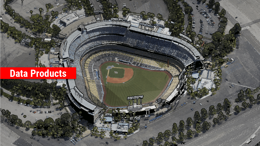
The Rise of LiDAR in Geomatics LiDAR, or Light Detection and Ranging, has seen a surge in its application within the geomatics sector. Its ability to capture detailed and accurate data makes it an invaluable tool for professionals seeking to analyze department of transportation survey and engineering projects. As the demand for high-quality data grows, the need to understand the strengths and weaknesses of available LiDAR sensors becomes paramount.
This is a panel discussion featuring two Surveying and Engineering Design service providers: EHRA and Wood Rodgers. We will discuss how they are leveraging Phoenix LiDAR Systems to perform the heavy lifting in order to provide both the fastest data acquisition and best data deliverables to their clients. You won’t want to miss hearing their many compelling successes throughout their LiDAR-based Surveying and Engineering Design workflows.
We’re excited to announce the release of LiDARMill v2! LiDARMill v2 takes automated post-processing to the next level. In our recent webinar, we covered some of the new improvements and features including:
- Imagery Processing in LiDARMill
- Ground Control Reporting and Adjustments
- Robust Coordinate System Handling
- A Workflow Overview and Demonstration
- Multi-Mission Processing Support
- Advanced Point Cloud Filtering Options
- RGB Thermal & Fusion
- Accuracy Reporting
- Automated LiDAR and Camera Calibration Options
- Near-Real Time (NRT) Reference Station Positioning for Projects Requiring Less Than 24 Hour Turn-around Time
- Trajectory Post-Processing Without Reference Stations
If you have any questions or would like to learn more about LiDARMill v2, please don’t hesitate to get in touch. We’d be happy to help!
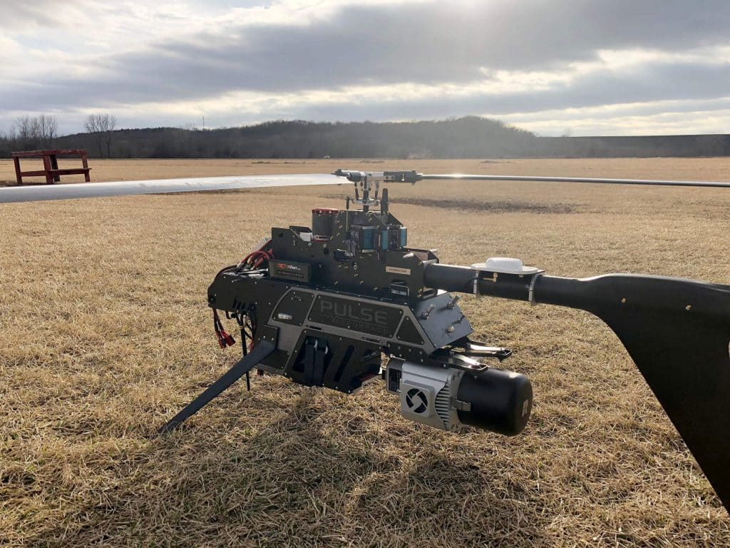
Over recent years, light detection and ranging (lidar) sensor technology has rapidly evolved and miniaturized. The reduced sensor size and weight have opened more doors for lidar sensors to be carried onboard unmanned aircraft systems (UASs). Compared with traditional airborne lidar mapping, UAS platforms offer more flexibility in terms of flight design and data collection, rapid response capabilities, and potentially cost at local mapping scales.
UAS-based lidar studies have primarily been focused on monitoring vegetation structure, simultaneous localization and mapping (SLAM) and so forth. A comparison between UAS and terrestrial laser scanning (TLS)-derived plant height for crop monitoring was made in. Descriptive statistics derived from polygon grids were analyzed and a correlation R2 = 0.91 was found in plant height derived from both methods. A lidar-based perception and guidance system was built on a helicopter to perform obstacle detection and avoidance, terrain following, and close-range inspection, and a high success rate was claimed by the authors.