
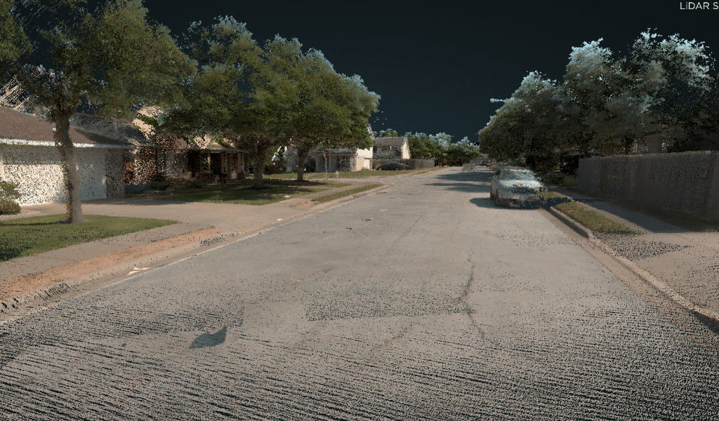
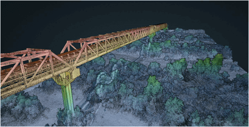
Transportation

Speed: 40 – 60 mph
Point density: >2000 points/m²
AGL: Ground level
Acquisition time: 3.5 hrs
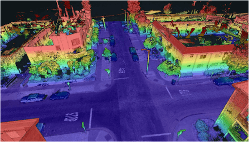
Speed: 20-40 mph
Point density: thousands of points/m²
AGL: Ground level
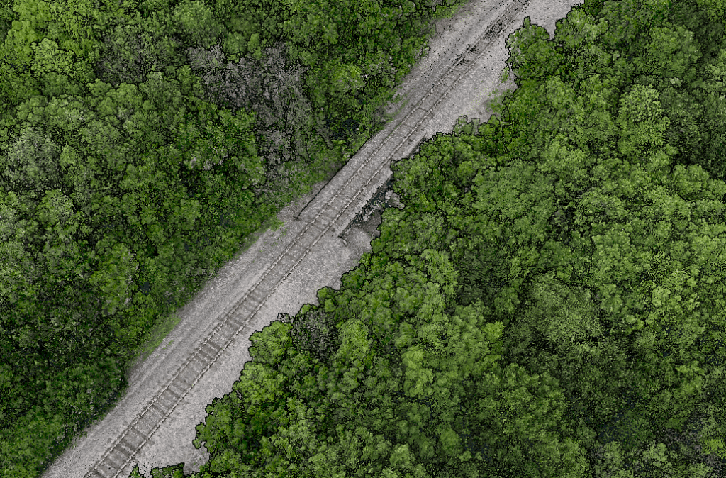
Point Density: 16,700 points per m^2
Height: ~1.5m AGL
Speed: Walking pace (~3-4 mph)
Data Acquisition Time: 12 minutes
Point Density: 3920 points per m^2
Height: 2 m AGL
Speed: ~20 mph
Data Acquisition Time: 10 minutes
Point Density: 473 points per m^2
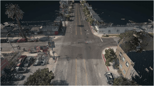
Height: 60 m AGL (approx.)
Speed: 6 m/s
Data Acquisition Time: 8 minutes
Point Density: 9200 points per m^2
Height: 20 m AGL
Speed: 6 m/s
Data Acquisition Time: 10 minutes

LIDAR, which stands for Light Detection and Ranging, has become a cornerstone in modern urban development. EHRA’s adoption of this technology, particularly the Mini-Ranger LIDAR system, showcases the significant advancements and efficiencies it brings to the field. The MiniRanger, known for its high-quality data collection, has been instrumental in EHRA’s ability to gather vast amounts of accurate data swiftly, transforming the landscape of urban engineering.

Discover the groundbreaking impact of LIDAR technology in urban development with EHRA’s innovative use of the Mini-Ranger LIDAR system. In this insightful video, we delve into how EHRA, a leading engineering firm, leverages the power of Drone LIDAR and the MiniRanger system to revolutionize urban planning and project management.

Unlocking the Power of Drone LIDAR: Transforming Transportation Projects. The world of transportation infrastructure is undergoing a profound transformation, and at the heart of this revolution is Drone LIDAR technology. This groundbreaking innovation is fundamentally reshaping the way we approach transportation projects, providing unparalleled precision and accuracy in high-precision mapping. In our comprehensive exploration, we delve into the captivating realm of Drone LIDAR. We start by unraveling the core concepts, introducing you to the technology’s essence, and highlighting why it’s becoming an indispensable tool in various industries.