
LiDARMill

This user manual provides a detailed overview in the use of our LiDAR mapping systems. It addresses and explains the working principles of the underlying components, the system architecture, and the required software. This manual is not intended to replace customer training. Instead, it should serve as introductory material for new users and a reference tool for experienced personnel. Use the link below to access the wiki.
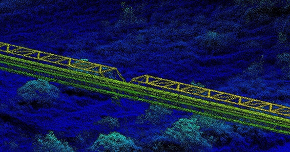
Interested in generating survey grade data with greater automation? How about with more control, less time, and more accurate results? Phoenix LiDAR Systems is excited to showcase LiDARSnap 4 to accomplish all of this and more! This webinar presents the factors involved in the creation of quality point cloud data from systemic boresight calculations to mission-specific LiDAR calibration including trajectory optimization and adjustment to ground control. Through combining all LiDAR calibration approaches into an automated, user-friendly tool, LiDARSnap 4 saves the user time, greatly reduces the complication of point cloud calibration, and improves the overall accuracy of the end deliverable! See how Phoenix LiDAR Systems has streamlined the path from acquisition to actionable survey grade point cloud data through the ease of LiDARSnap4!
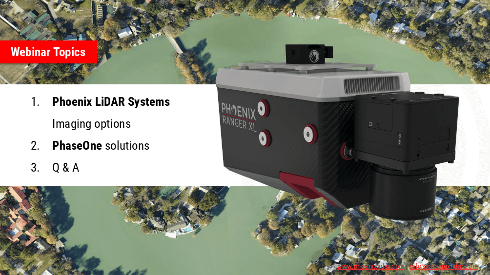
Phoenix LiDAR Systems are capable of much more than point-clouds! In this webinar we team up with our premier imaging partner, PhaseONE to showcase how two of the world’s leading aerial surveying companies are synergizing the industry to push the limits of what’s possible. Also we’ll go over our other advanced imaging systems including dual-oblique, hyperspectral, thermal, NIR, and more!
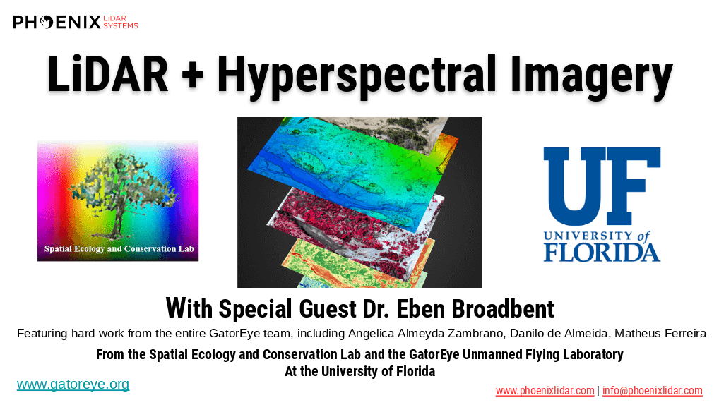
The high dimensionality of data generated by Unmanned Aerial Vehicle(UAV)-Lidar makes it difficult to use classical statistical techniques to design accurate predictive models from these data for conducting forest inventories. Machine learning techniques have the potential to solve this problem of modeling forest attributes from remotely sensed data. This work tests four different machine learning approaches – namely Support Vector Regression, Random Forest, Artificial Neural Networks, and Ex-
treme Gradient Boosting – on high-density GatorEye UAV-Lidar point clouds for indirect estimation of individual tree dendrometric metrics (field-derived) such as diameter at breast height, total height, and timber volume.
We’re excited to announce the release of LiDARMill v2! LiDARMill v2 takes automated post-processing to the next level. In our recent webinar, we covered some of the new improvements and features including:
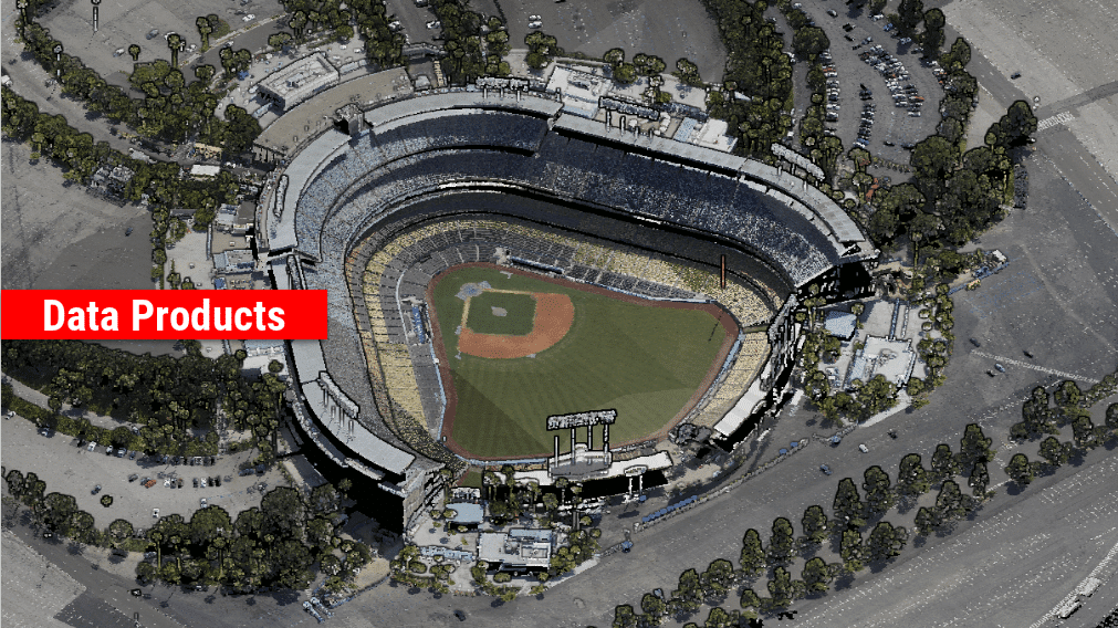
- Imagery Processing in LiDARMill
- Ground Control Reporting and Adjustments
- Robust Coordinate System Handling
- A Workflow Overview and Demonstration
- Multi-Mission Processing Support
- Advanced Point Cloud Filtering Options
- RGB Thermal & Fusion
- Accuracy Reporting
- Automated LiDAR and Camera Calibration Options
- Near-Real Time (NRT) Reference Station Positioning for Projects Requiring Less Than 24 Hour Turn-around Time
- Trajectory Post-Processing Without Reference Stations
If you have any questions or would like to learn more about LiDARMill v2, please don’t hesitate to get in touch. We’d be happy to help!