
Ranger-XL

This user manual provides a detailed overview in the use of our LiDAR mapping systems. It addresses and explains the working principles of the underlying components, the system architecture, and the required software. This manual is not intended to replace customer training. Instead, it should serve as introductory material for new users and a reference tool for experienced personnel. Use the link below to access the wiki.
Point Density: 115 points per m^2
Height: 330 m AGL (approx.)
Speed: 50 m/s
Data Acquisition Time: 13 minutes
Point Density: 168 points per m^2
Height: 320m AGL
Speed: 55 knots
Data Acquisition Time: 26 minutes
Are you tired of sifting through endless options and specifications to find the right drone lidar sensor for your needs? Look no further! Our comprehensive selection guide takes the guesswork out of the process, helping you make informed decisions about which sensor is best suited for your project.
Our guide offers a detailed overview of the key features and benefits of various drone lidar sensors, including their range, accuracy, and data output capabilities.
Join us as we sit down with SkySkopes for an in depth discussion focused on helicopter based mapping solutions. SkySkopes is a top-tier data service provider. Their team operates a wide variety of advanced sensors and aircraft for transmission and distribution line inspections, oil and gas applications, and many other innovative use cases that focus on adding value.
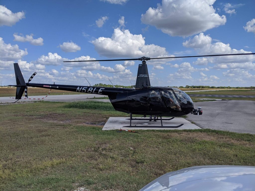
In this webinar, we discuss the planning and execution of manned airborne data acquisition. We will review noteworthy data quality and efficiency considerations to be aware of from an airborne perspective. Then we’ll take a look at flight planning for helicopter missions featuring Phoenix’s own flight planner. The final portion of the webinar will dive into the acquisition portion and introduce Mission Guidance, PLS’s new real-time pilot’s navigation aid and data technician’s quality control tool.
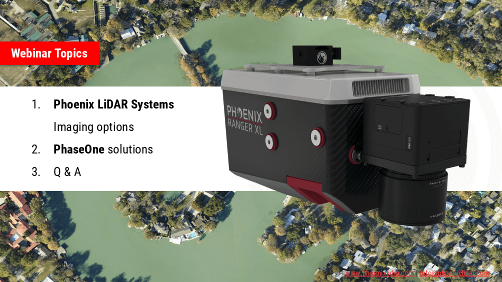
Phoenix LiDAR Systems are capable of much more than point-clouds! In this webinar we team up with our premier imaging partner, PhaseONE to showcase how two of the world’s leading aerial surveying companies are synergizing the industry to push the limits of what’s possible. Also we’ll go over our other advanced imaging systems including dual-oblique, hyperspectral, thermal, NIR, and more!
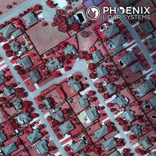
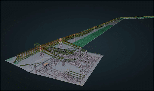
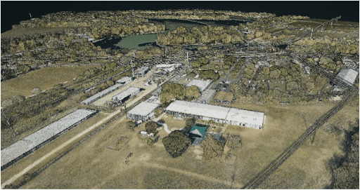
A few weeks ago we posted a video of a completed Ranger-XL ready for shipment. Here’s a peek at a recent dataset collected by that same Ranger-XL coupled with the 100MP Phase One 4-band Solution. This urban corridor was easily captured with a single pass, creating a stunning dataset with high Imagery and LiDAR resolution. Data specs: 80 Points Per Square Meter Average for LiDAR and 3cm GSD for imagery.