
Webinar
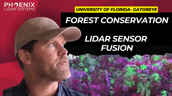
In the ever-evolving realm of remote sensing, the study and understanding of our natural environment have taken leaps and bounds. Leading this revolution is the integration of LiDAR technology with drones, a combination that is redefining the way we perceive and analyze forests. This video delves deep into the advancements in forest analysis, particularly focusing on the groundbreaking work of Eben Broadbent and his research program, GatorEye.
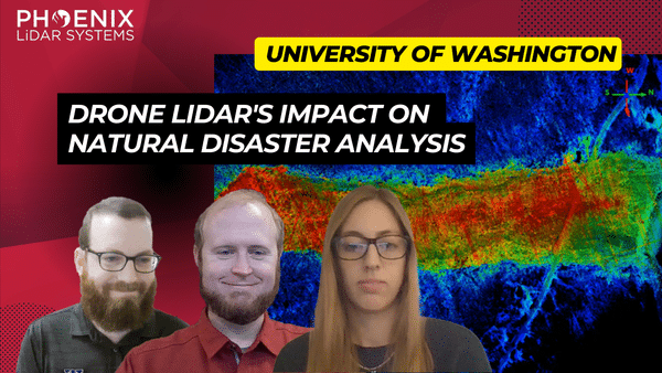
In the ever-evolving world of technology, LiDAR (Light Detection and Ranging) has emerged as a groundbreaking tool, especially in the realm of natural disaster research. The RAPID Facility, an integral part of the Natural Hazards Engineering Research Infrastructure (NERI) network, has been at the forefront of harnessing this technology. Their mission? To support researchers in collecting invaluable data on natural disasters, offering insights that were previously unimaginable.
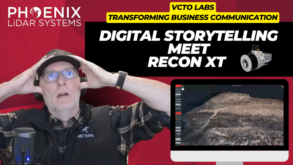
Join Pete Kelsey, the visionary owner of VCTO Labs, as he unveils the transformative power of 3D virtualization and LiDAR technology in storytelling. With a rich portfolio that spans the mysterious Easter Island to the historic USS Arizona in Pearl Harbor, Pete has mastered the art of bringing data to life through visually stunning 3D models. This video explores the intricate process and the remarkable outcomes of using LiDAR and 3D models to captivate and engage audiences worldwide.
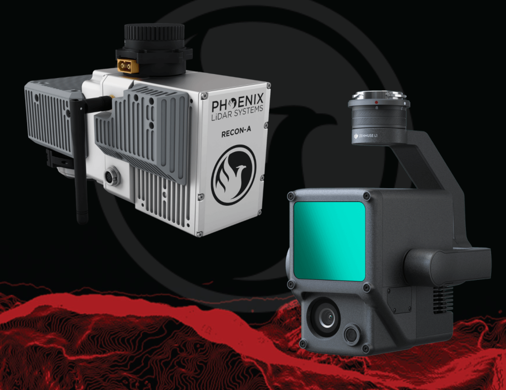
Join us at 11am PT on Tuesday, May 24th for this month’s FREE webinar highlighting the key differences in hardware and software between Phoenix LiDAR System’s RECON-A mapping system, combined with the automated postprocessing power of LiDARMill software versus DJI’s Zenmuse L1 integration with Terra Pro software. You won’t want to miss this in depth solution comparison where we dive into the resulting data quality generated from these two package options, the derived data product offerings, and how these correlate to the accuracy and ultimate success of your mapping project.
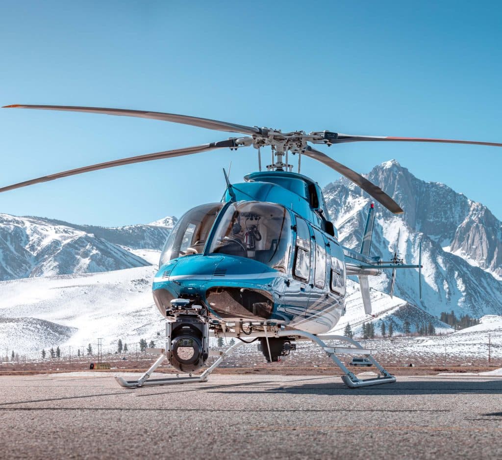
Join us as we sit down with SkySkopes for an in depth discussion focused on helicopter based mapping solutions. SkySkopes is a top-tier data service provider. Their team operates a wide variety of advanced sensors and aircraft for transmission and distribution line inspections, oil and gas applications, and many other innovative use cases that focus on adding value.
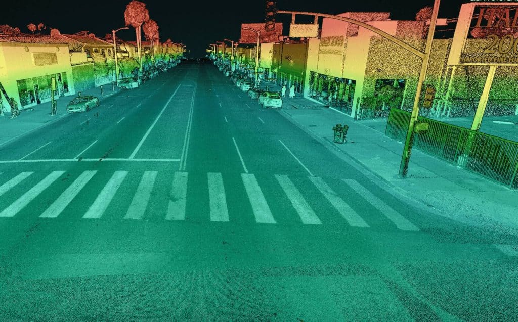
Many users have recently discovered the benefits of mobile acquisition. Data density, accuracy, efficiency of collection and the ability to go where airborne vehicles often cannot makes this a highly valuable mapping option. Phoenix LiDAR systems and software are intentionally designed for vehicle flexibility, meaning you can acquire and process airborne, mobile, backpack, plus other types of data through a streamlined workflow. This webinar takes a close look at mobile lidar and imagery. We will discuss the data properties, advantages, considerations, and how Phoenix’s SpatialExplorer 7 software can be used to make the most of what you acquire.
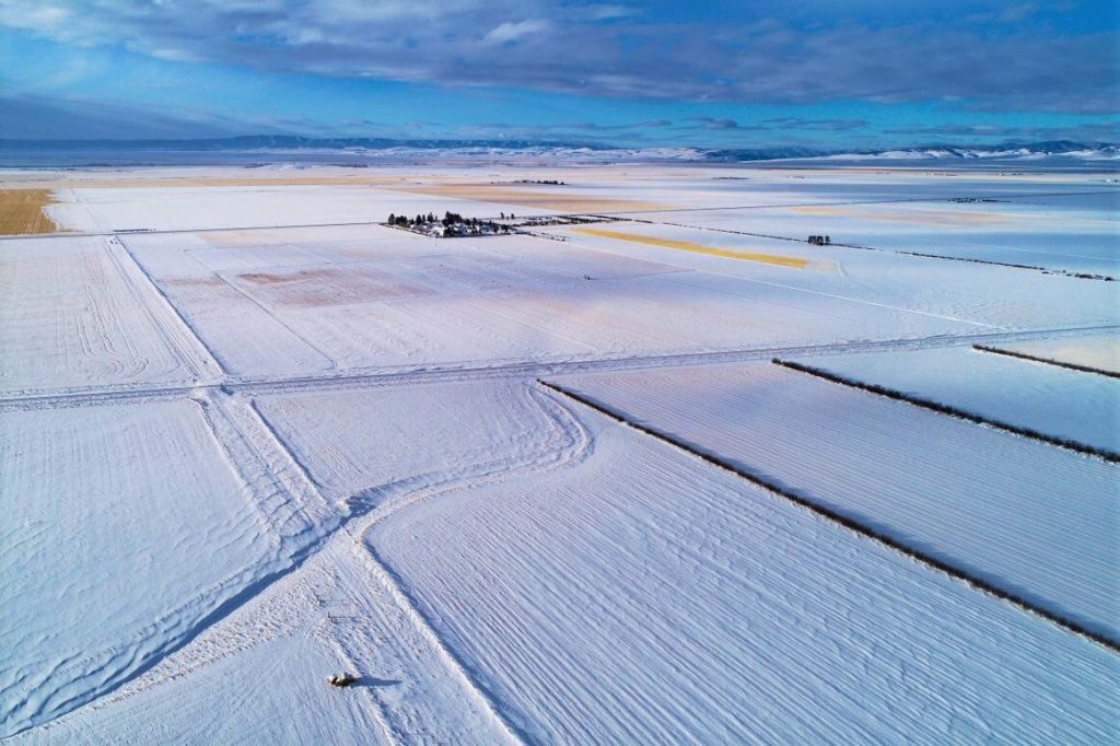
Join us for an intriguing webinar alongside Jeff Rizza of DJ&A to explore a unique UAV LiDAR project they completed for NASA and MSU earlier this year! As a contributor to the NASA SnowEx program, DJ&A used a Phoenix LiDAR system to capture highly detailed point clouds of snow surfaces that will be used by scientists for snow dynamics research. You won’t want to miss this one! Stick around until the end for a sneak peak on DJ&A’s upcoming white paper comparing UAV LiDAR and photogrammetry for topographic mapping!
Join us for this informational webinar where we will take a detailed look at 3 of the best options for cost effective UAV LiDAR scanners. We will discuss the metrics used when evaluating LiDAR and why they are critical for making a fair comparison. Then we’ll see a side-by-side evaluation of various quality factors for the RECON-A, RECON-XT, and miniRanger. We’ll wrap up the presentation with a summary of how to make sure you are getting the full story when comparing options and deciding factors that you may want to consider.
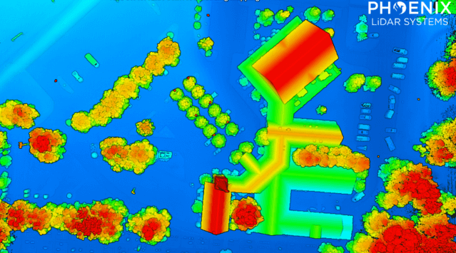
UAV and LiDAR have transformed the surveying industry by offering large area mapping at scale. In this month’s webinar Phoenix Lidar Systems we explore the process, strengths, and limitations of aerial surveying with high performance LiDAR. Learn the basics and benefit from hearing from the real world experiences of Pape-Dawson Engineers as they review their decisions and experiences from launching a successful aerial LiDAR program.