
Videos
LiDAR Mapping Through Vegetation – 5 Tips You Should Know!
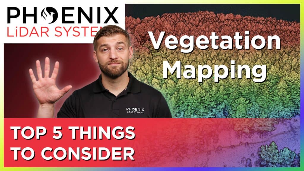
Mapping accurately through vegetation is challenging. And while photogrammetry can be used for bare earth mapping, it is not nearly as effective as LiDAR for mapping through thick vegetation. In this video, Kory Kellum of Phoenix LiDAR Systems explains the best way to map surfaces with vegetation and provides five points for you to consider when you are looking at solutions to map through vegetation.
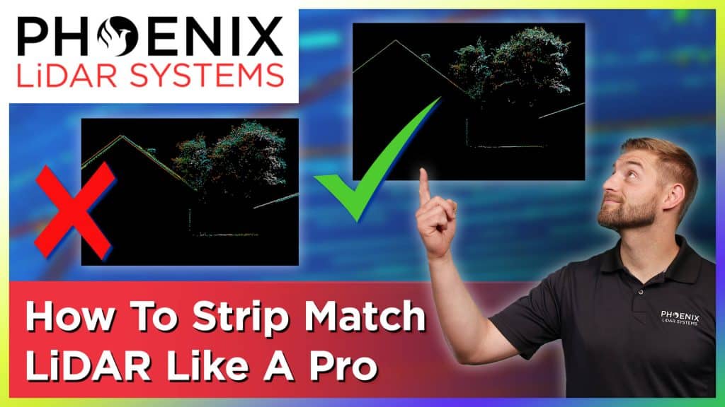
One of the biggest issues that drone LiDAR service providers face is aligning the LiDAR data collected for the most accurate point cloud. This process is known as strip matching and is one of the most important parts of processing LiDAR Data. In this video Kory Kellum with Phoenix LiDAR Systems explains why strip matching is a crucial step in providing the highest quality point clouds and how to achieve those accurate results in the simplest way possible.
More information on strip matching: https://info.phoenixlidar.com/lidarmill-request-811512
Drone LiDAR Point Cloud Classification (A Quick Overview)
More information on LiDAR classification: https://info.phoenixlidar.com/lidarmill-request-811512
In this video, Kory Kellum of Phoenix LiDAR Systems explains the fundamentals of LiDAR classification. What LiDAR classification is. Why LiDAR classification is important. And the BEST WAY to classify LiDAR data.

Huge Problem Surveyors Face With LiDAR Data (And How To Solve It!)
Surveyors face many challenges when it comes to getting the best and most accurate results for their clients. And this problem is made worse when they use low quality LiDAR software. In this video, Kory Kellum of Phoenix LiDAR Systems gives surveyors some tips on how to get the most accurate results possible using drone LiDAR data.
Click here for more information on LiDAR Processing software
The Best Way To Colorize LiDAR
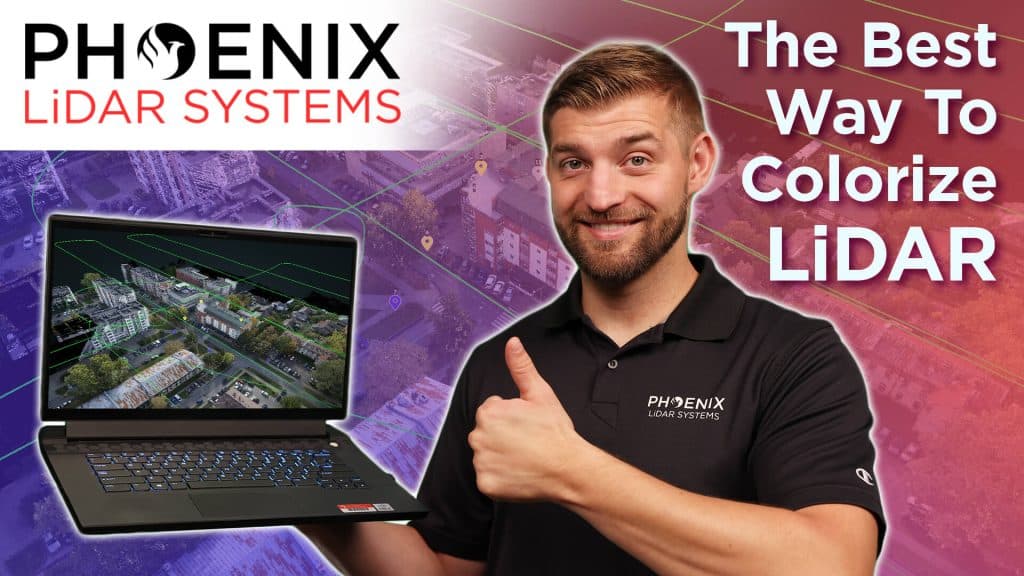
If you have collected LiDAR data and need to colorize, this video is for you. In this video, Kory Kellum of Phoenix LiDAR Systems takes you through the best methods of LiDAR colorization and what to watch out for when you do it.
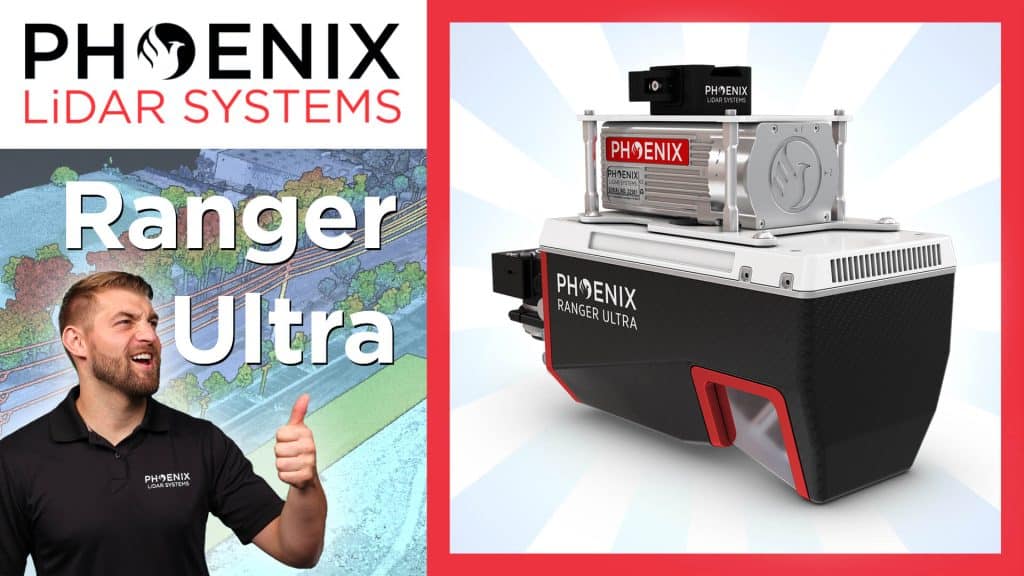
Phoenix LiDAR Systems RANGER-ULTRA – Product Spotlight
The RANGER-ULTRA from Phoenix LiDAR Systems is unmatched in performance and versatility. It is lighter than other similar systems and works for crewed and uncrewed missions. It is well suited for the most demanding mapping missions including power line, railway, pipeline, topography, open-cast mining, urban applications, archaeology, cultural heritage documentation, agricultural, forestry, and much more!
In this video, Kory Kellum of Phoenix LiDAR Systems takes us through the features and uses of the RANGER-ULTRA.
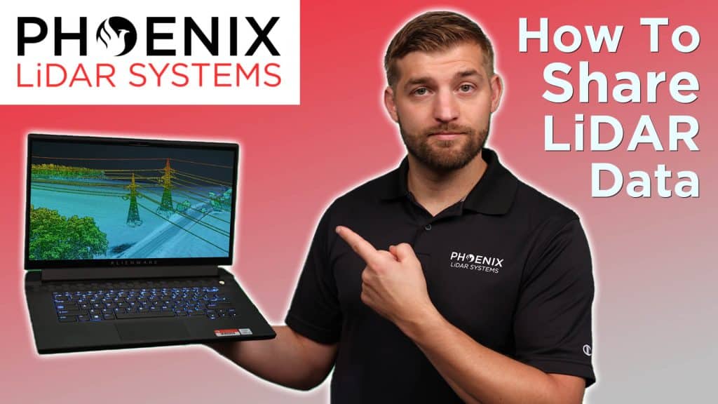
How to Share LiDAR Data with Anyone
If you need to share your LiDAR data but are not sure if your customer or end user has the right software to view it, you are in luck! LiDARMill’s CloudViewer provides an easy way for anyone to view and manipulate LiDAR data without having to create an account or download any special software. In this video, Kory Kellum with Phoenix LiDAR Systems shows you how LiDARMill’s CloudViewer makes it easy to share your LiDAR data!
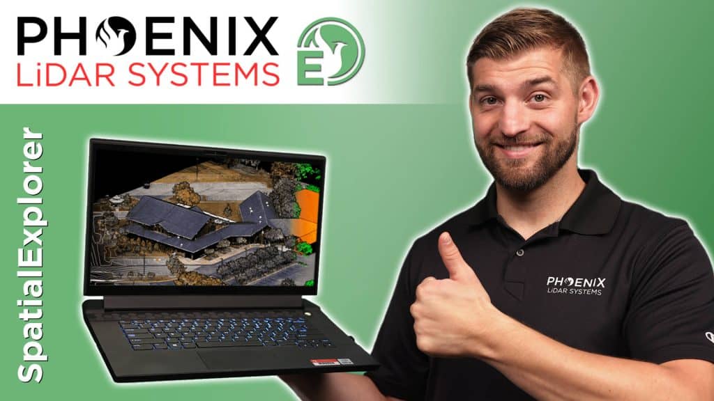
What Is The Best LiDAR Processing Software?
If you are looking for the best LiDAR processing software, look no further because Phoenix LiDAR Systems has you covered! In this video, Kory Kellum of Phoenix LiDAR Systems tells you how to deliver the highest quality LiDAR and data deliverables possible. This video covers the highlights of SpatialExplorer (or SE for short) and ways to use it effectively.
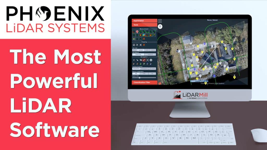
The Most Powerful and Easy To Use LiDAR Software – LiDARMill from Phoenix LiDAR Systems
LiDAR processing can be complicated, expensive and slow. But there is a great solution from Phoenix LiDAR Systems – LiDARMill. The cloud based software that can help you process LiDAR data quickly, accurately and inexpensively. And LiDARMill makes it easy to share LiDAR data with anyone. In this video, Kory Kellum of Phoenix LiDAR systems explains what LiDARMill is, who it’s for, and how you can try it for free!