
Videos

Phoenix RANGER-LR: The Universal LiDAR System
If you are looking for the most adaptable LiDAR system in the world, then you’ve come to right place! The RANGER-LR from Phoenix LiDAR is considered to be the “Universal Soldier” of LiDAR mapping systems. The RANGER-LR can be flown on a number of aerial and ground platforms. In this video, Kory Kellum of Phoenix LiDAR Systems explains why the RANGER-LR may be the right solution for your LiDAR mapping needs, no matter what they are.
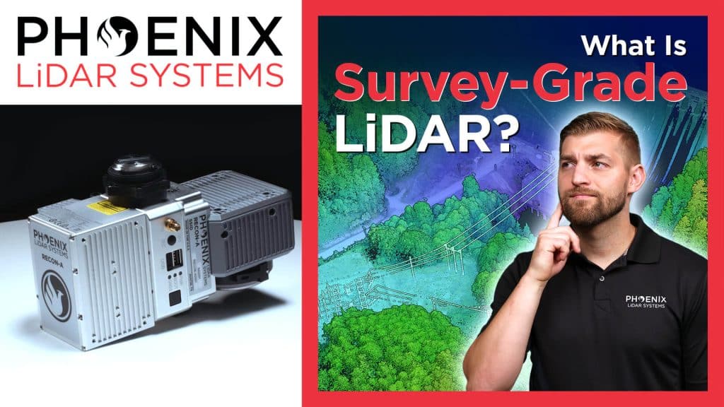
What Is Survey Grade LiDAR?
The term “survey grade” is often used when referencing LiDAR data, but what does it really mean? Is there a precise, universally accepted measurement for “survey grade”, or does it vary? In this video, Kory Kellum of Phoenix LiDAR Systems talks about what makes LiDAR data “survey grade”, when you might need that level of accuracy, and the best solutions to collect “survey grade” LiDAR data.
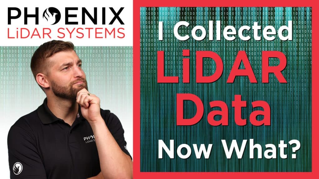
I Collected LiDAR Data – Now What?!?!
Collecting LiDAR data efficiently and accurately is important, but it’s only half of the equation! Once you have your data, what do you do with it? How do you process? How do you ensure accuracy? Are tools available to help with the processing of LiDAR data? In this video Kory Kellum of Phoenix LiDAR Systems answers all those questions about processing LiDAR data and more! Kory gives us five simple steps to move from raw LiDAR data to a classified, colorized, point cloud!
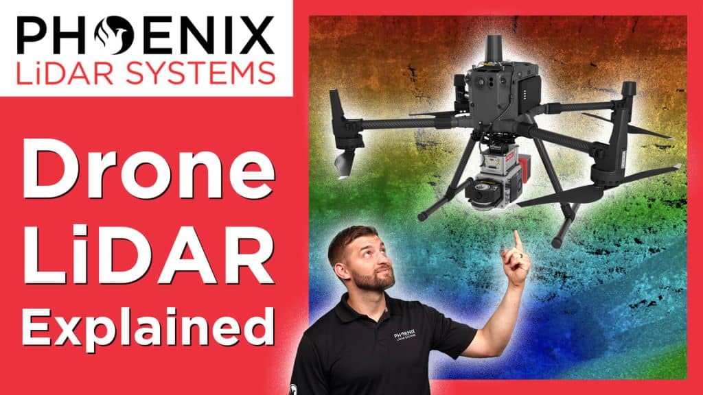
Drone LiDAR Explained
If you plan to use LiDAR, you need something to carry the LiDAR system over the area you intend to map or survey. The device that carries the LiDAR system is known as a “platform” and the LiDAR system itself is known as a “payload”. While manned aircraft were the default platform for many payloads in the past, today UAVs (unmanned aerial vehicles), often referred to as “drones”, are becoming more common as a platform to carry LiDAR and many other payloads. But how does this work? In this video, Kory Kellum of Phoenix LiDAR Systems, will explain how a UAV or drone carries its LiDAR payload to achieve the highest accuracy and efficiency for its end objectives.
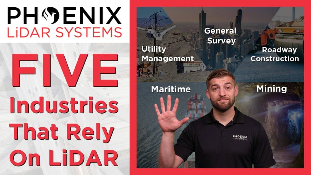
Industries That Use LiDAR To Improve Everyday Life
Did you know that LiDAR plays a role in how you drive, how you communicate, and even the delivery of goods to your home or business? While most people don’t realize it, LiDAR is crucial to the safety of our roadways, water ways, and infrastructure. In this video, Kory Kellum with Phoenix LiDAR Systems, explains how LiDAR is used by five major industries to ensure the accuracy of mapping, surveying, and waterways – and how that accuracy makes our everyday lives easier, safer and better.
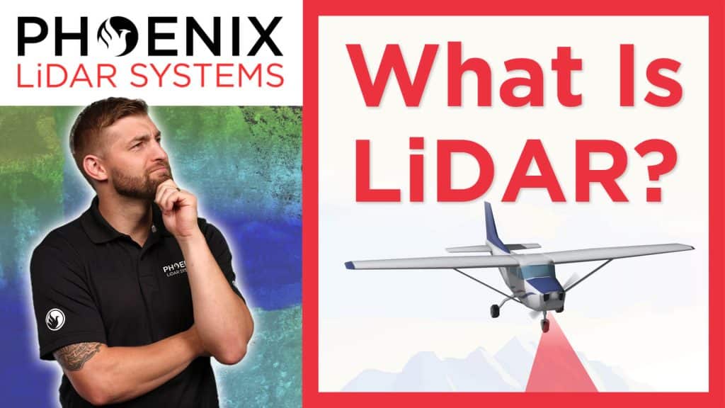
What Is LiDAR? A Brief Explanation of What LiDAR is and What LiDAR Does!
Have you heard the term “LiDAR” but are not quite sure what it is or how it works? In this video, Kory Kellum with Phoenix LiDAR Systems, gives a simple, easy to understand explanation of LiDAR and how it can be used in a variety of different ways. From measuring to mapping, LiDAR utilizes many different platforms including UAVs (drones), manned aircraft, boats, trucks, and even backpacks! And LiDAR is used for a wide variety of purposes, many of which we talk about in this video. Phoenix LiDAR Systems is dedicated to delivering a complete solution for today’s generation of surveyors, giving them LiDAR solutions that maximize return on investment.
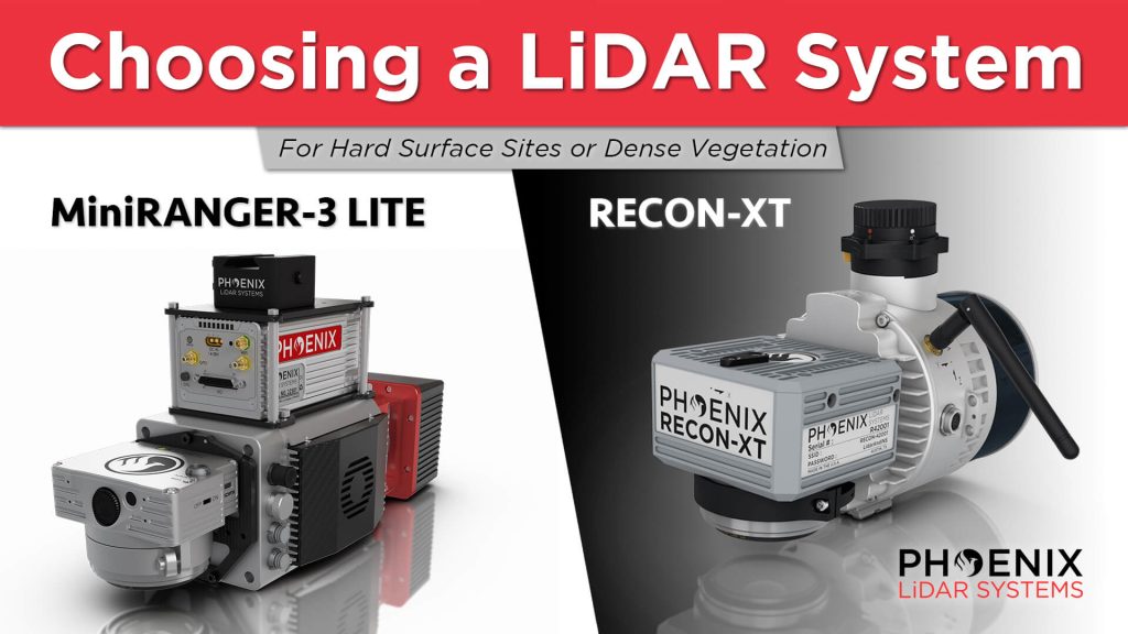
The Best DJI M300 UAV LiDAR Solutions – RECON-XT & MiniRANGER 3
If you are looking for a high-performance yet light weight solution, the RECON-XT and MiniRANGER-3 are both versatile and affordable LiDAR solutions. They are both mountable on the DJI M300 UAV. They are both survey grade solutions featuring high-precision. The biggest difference is that one relies on a single, high-powered laser, and the other relies on multiple lasers. The MiniRANGER-3 features an impressive recommended AGL of up to 75 meters, filling a major AGL gap in the ultra-lightweight UAV LiDAR market. And the RECON-XT is the ultimate value, entry-level system for the DJI M300. A strong fit for smaller scan areas and teams on a budget.
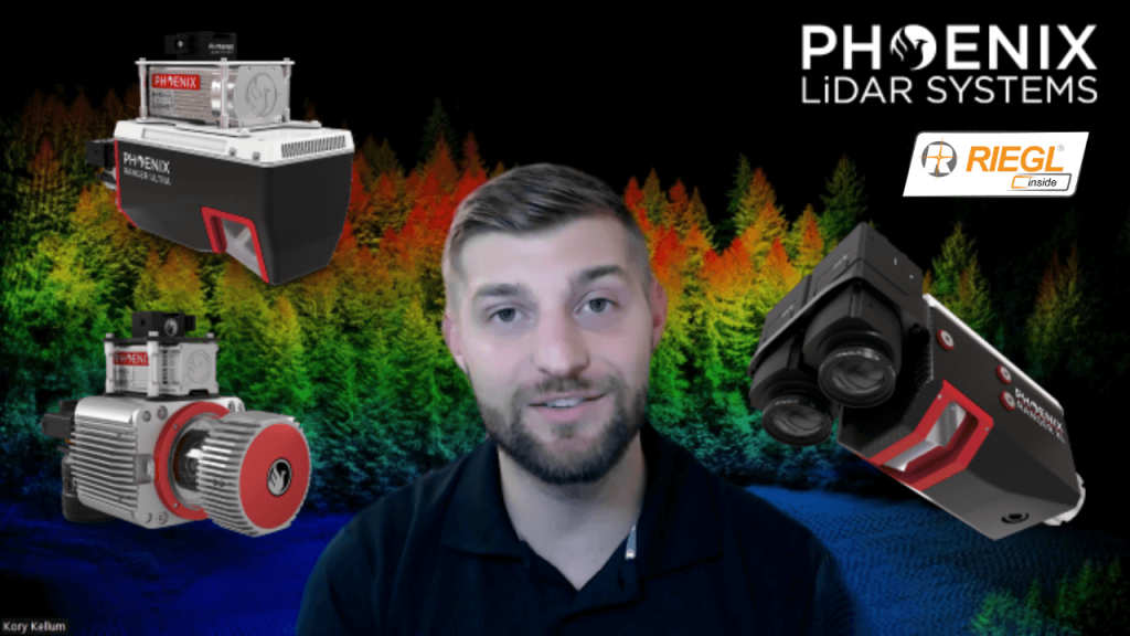
How to Choose the Right System for Long Range LiDAR Mapping
Kory Kellum with Phoenix LiDAR Systems helps you choose the right tool for the right job when it comes to high altitude lidar mapping, with an in depth product review of The RANGER Series. The RANGER-XL, RANGER-Ultra and RANGER-LR are all top performers when it comes to precision, accuracy, long ranging capability, and point density; However, the intrinsic differences in their technologies should be explored to understand how those differences warrant the use of one over the other for certain applications.