An Upgrade to the Renowned RANGER-ULTRA
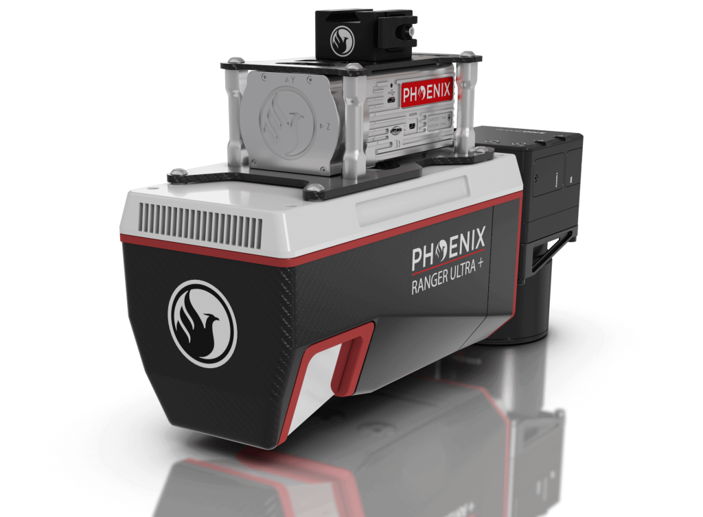
RANGER-ULTRA+
The RANGER-ULTRA+ adds range and density capabilities to an already unrivaled mapping system.
The RANGER-ULTRA+ is a cutting-edge mapping system that offers a unique value proposition for professionals in a variety of industries. One of the system’s most innovative features is its forward and rear looking field of view, which minimizes laser shadowing and provides a high level of detail on vertical surfaces. This feature is especially useful for professionals who need to map infrastructure such as utility lines, railroads, and pipelines, where accurate vertical measurements are critical.
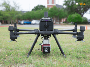
In addition to its advanced field of view, the RANGER-ULTRA+ also boasts pulse rates of up to 2.4 MHz, making it one of the fastest and most accurate mapping systems available today. This feature, coupled with the system’s ability to be carried by a variety of aircraft, makes it highly versatile and suitable for mapping at various scales to meet the unique project objectives of professionals in a range of industries.
Overall, the RANGER-ULTRA+ is an ideal tool for corridor mapping applications, such as utility, rail, and pipeline inspection. Its advanced features and versatility make it a valuable investment for professionals looking to maximize their mapping capabilities and achieve the highest level of accuracy and detail possible.


