
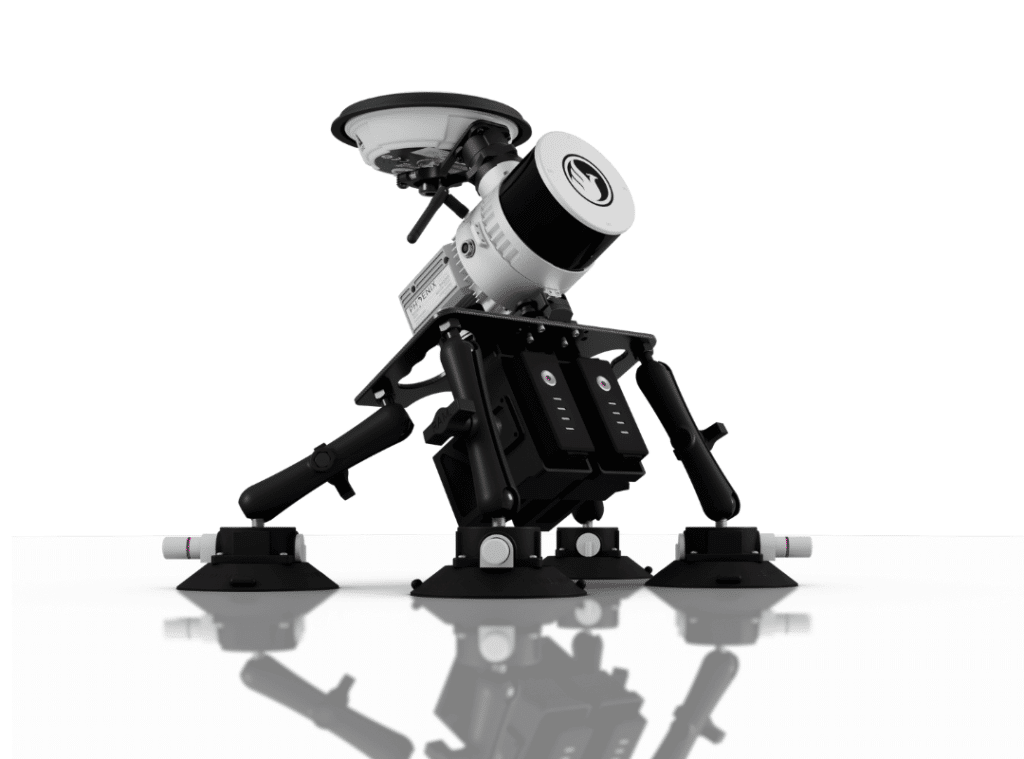
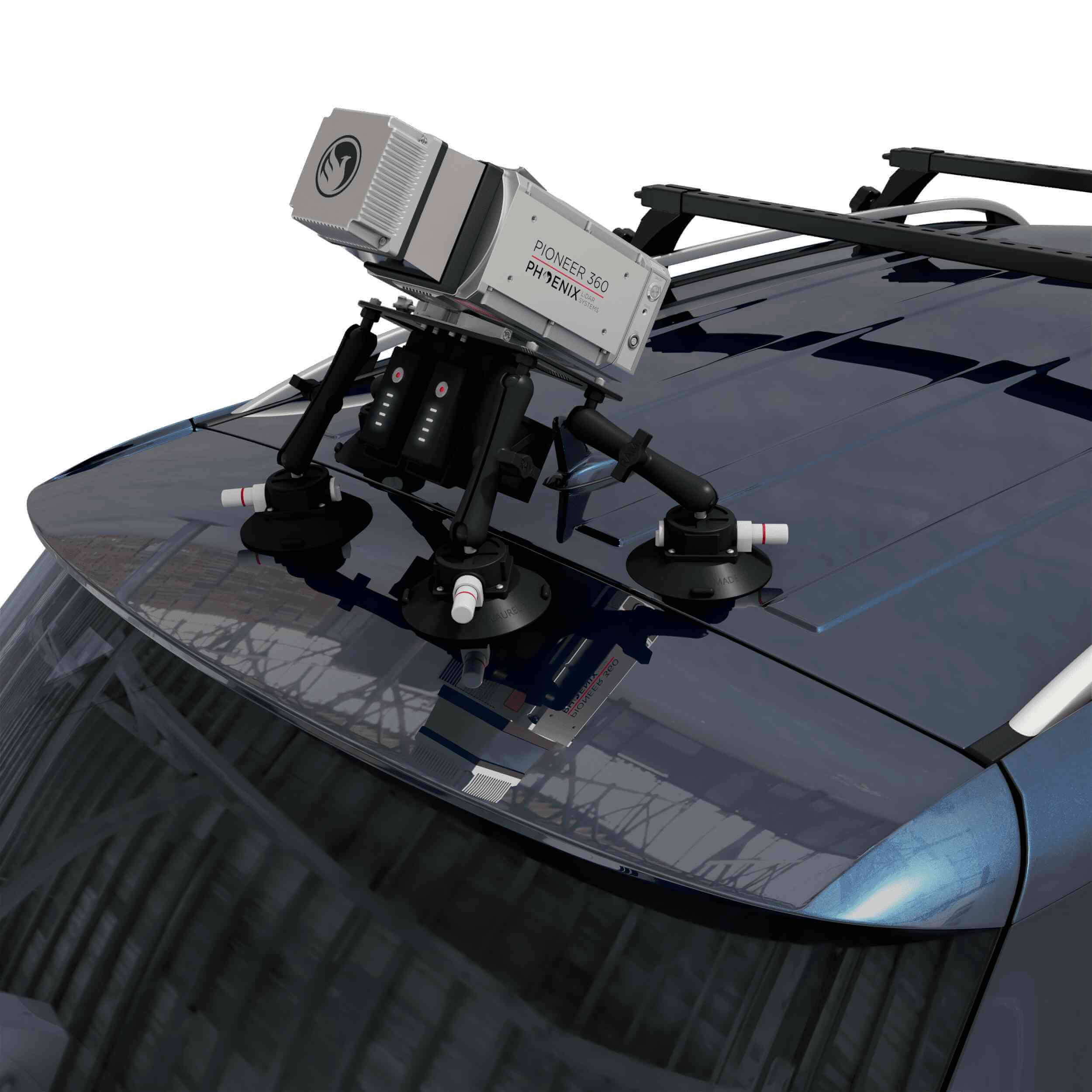
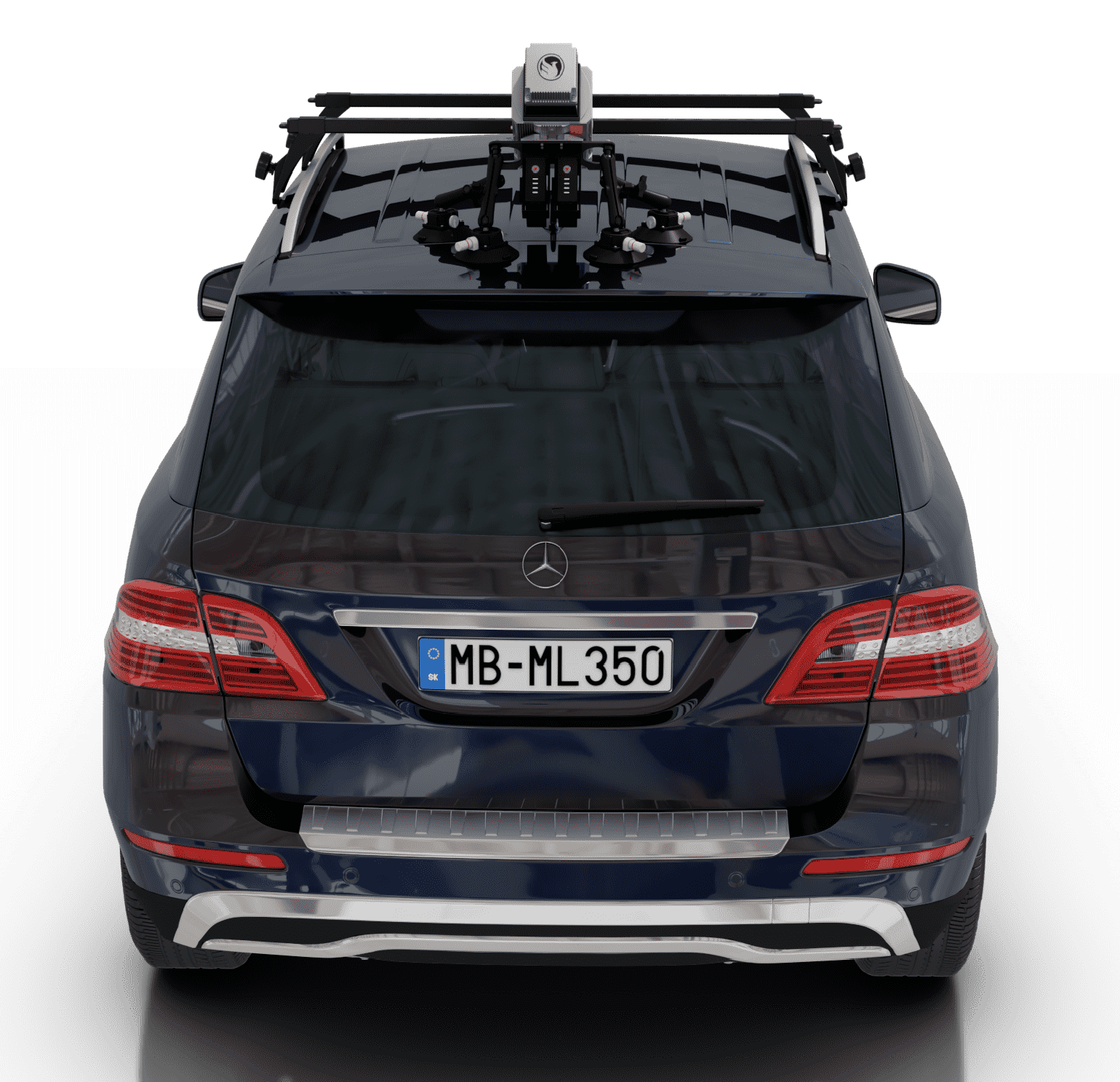
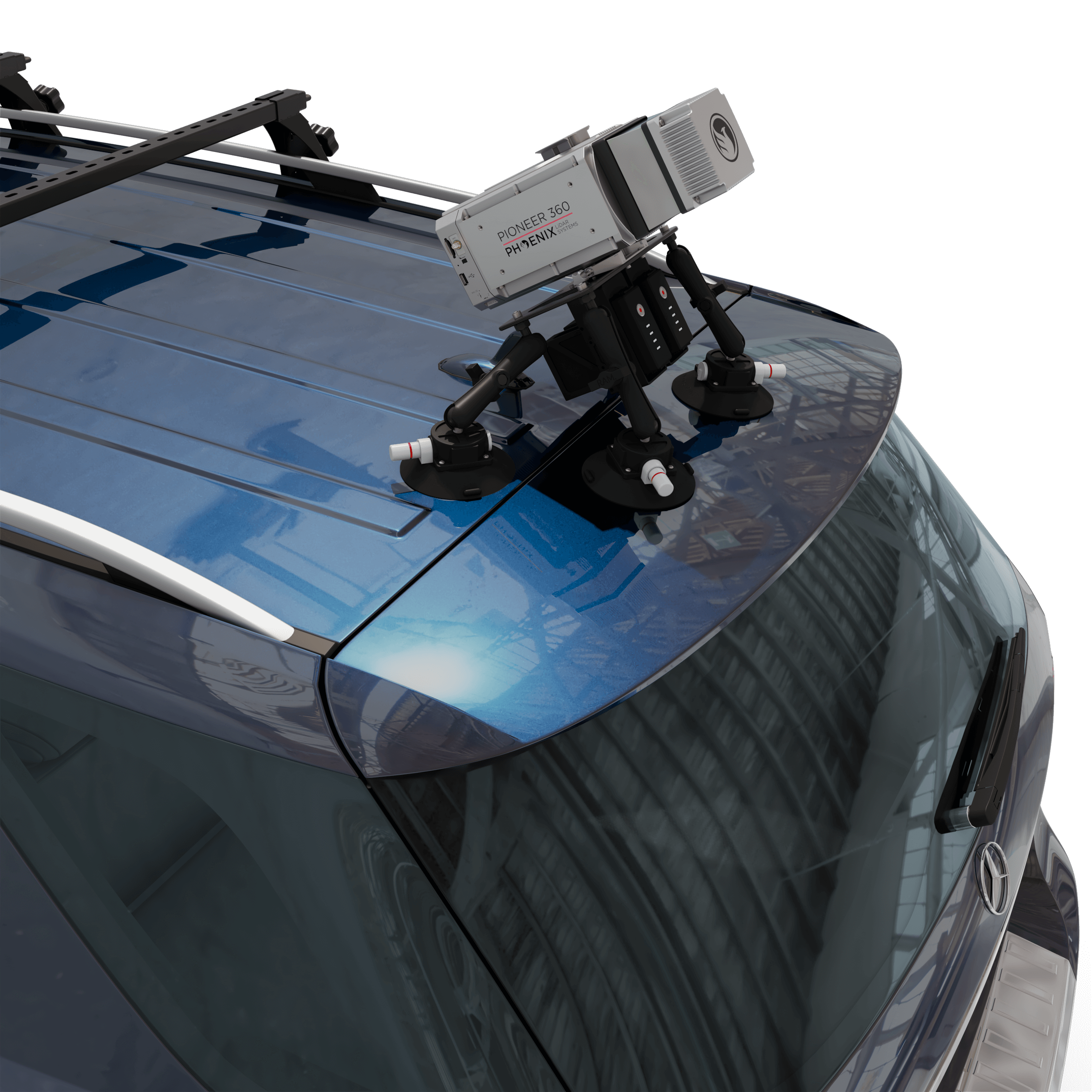
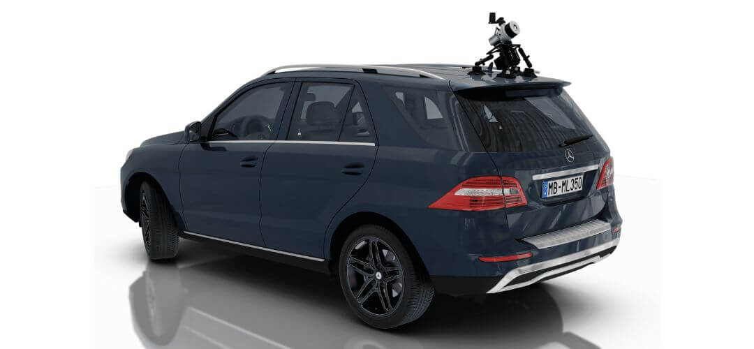
RECON-XT Now Mobile-Mapping Compatible with the Release of Our Universal Suction Mount!
Does your LiDAR system work seamlessly between UAV and mobile mapping-applications? The RECON-XT does. Why choose?
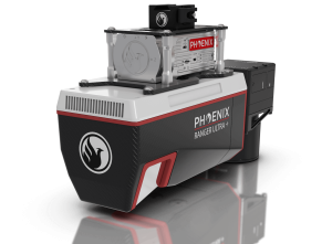
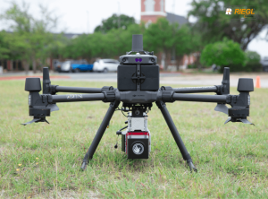
The RECON-XT is a breakthrough technology in complete LiDAR solutions. The system is capable of survey-grade accuracies, dense vegetation penetration, while retaining a minimalist, light-weight profile. While initially designed for seamless integration with the DJI M300 RTK airframe, Phoenix LiDAR Systems has made the RECON-XT compatible with a wide array of commercially available UAV.
Now, with the introduction of the Mobile Mapping Kit for RECON-XT, users can take their system from air to ground vehicle in a matter of minutes, giving operating teams the ability access to more data, more applications, and more versatility than ever before.
Request More Information
When coupled with Phoenix Software LiDARMill and Spatial Explorer software, users can take advantage of industry leading data processing functions that drive automated workflows, quality control, reporting, deliverables, and remote viewing capabilities to even the most novice of LiDAR users.
If you’re looking for an accurate, fast, lightweight, and versatile LiDAR system that is dependable and easy to use, the RECON-XT is one of the best choices available. We invite you to take a look at the sample data here, and contact our team for more information.