
LiDARMill
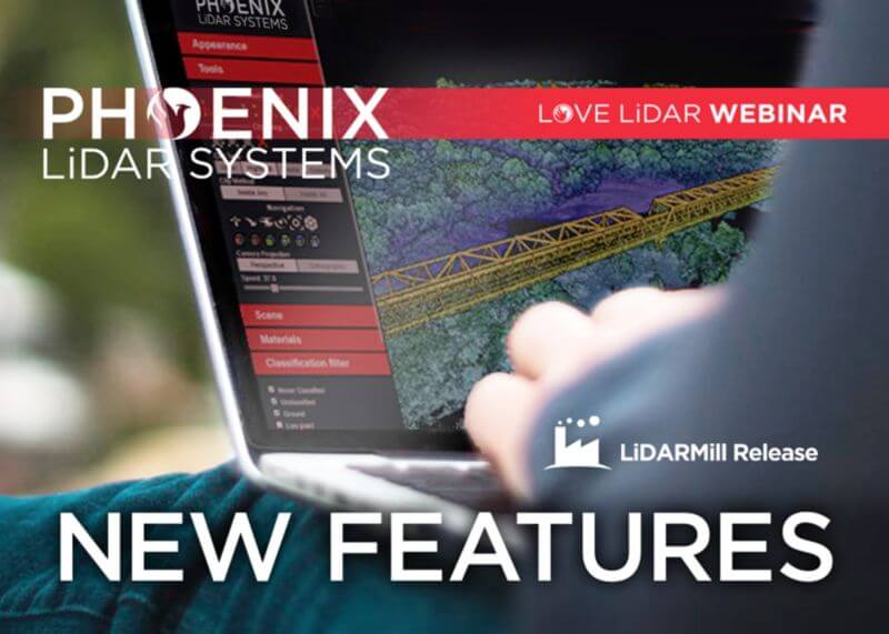
In this month’s webinar, we discuss some new and exciting developments and improvements in our automated processing software, LiDARMill.
In the presentation, we cover cloud processing project setup and highlight some of the major changes, including:
- A new coordinate reference system wizard
- Updated GCP handling for user-friendliness
- Revised surveyed checkpoint accuracy reporting
- Tiled product output for easier data management
- Conveniently located user support documentation
- Improved system and dataset calibration with LiDARSnap v4
- Plus…a first look at our AI classification beta release that is now accessible to users!
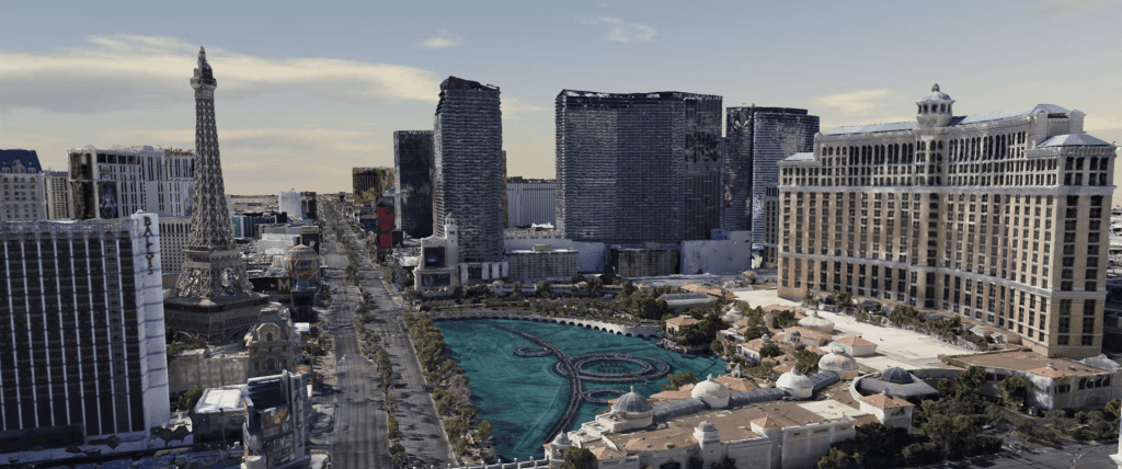
As most of you are undoubtedly aware, COVID-19 pandemic concerns have forced many businesses including all casinos along the Las Vegas strip to temporarily shut their doors. Since everyone is now advised to stay away from this area, the Phoenix LiDAR team would like to give you the next best thing – a virtual tour! Check out a beautifully colorized LiDAR scan of the Las Vegas strip collected with our Phoenix Ranger LR solution and multi-camera array by manned helicopter.
We have also included another data set to share what is possible when you utilize LiDAR data as a baseline for ground and flat surfaces, to enhance dense image matching within a third party product like Context Capture to create a robust mesh model.
There were no interiors scanned this time around. So, sadly there will be no table games or showgirls on this particular tour. However, please enjoy this impressive data set, and experience the majesty of the Vegas strip safely from your home! Happy touring and stay safe out there!
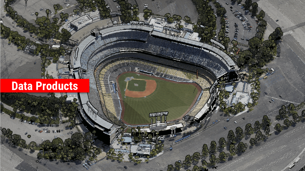
We’re excited to announce the release of LiDARMill v2! LiDARMill v2 takes automated post-processing to the next level. In our recent webinar, we covered some of the new improvements and features including:
- Imagery Processing in LiDARMill
- Ground Control Reporting and Adjustments
- Robust Coordinate System Handling
- A Workflow Overview and Demonstration
- Multi-Mission Processing Support
- Advanced Point Cloud Filtering Options
- RGB Thermal & Fusion
- Accuracy Reporting
- Automated LiDAR and Camera Calibration Options
- Near-Real Time (NRT) Reference Station Positioning for Projects Requiring Less Than 24 Hour Turn-around Time
- Trajectory Post-Processing Without Reference Stations
If you have any questions or would like to learn more about LiDARMill v2, please don’t hesitate to get in touch. We’d be happy to help!