• 323.577.3366
  • Info@PhoenixLiDAR.com
PhoenixLiDAR Logo WhitePhoenixLiDAR Logo WhitePhoenixLiDAR Logo WhitePhoenixLiDAR Logo White
  • Hardware
    • Solutions Overview
    • (NEW) HALO-H10
    • RANGER
      • HydroRANGER
      • (NEW) RANGER-ULTRA+
      • RANGER-ULTRA
      • RANGER-XL
      • RANGER-LR LITE
    • PIONEER-360
    • MiniRANGER
      • MiniRANGER-3 LITE
      • MiniRANGER-LITE
    • SCOUT
      • SCOUT-M2X
      • SCOUT-ULTRA
      • SCOUT-32
      • SCOUT-16
    • RECON
      • RECON-XT
      • RECON-A
  • Software
    • FlightPlanner
    • SpatialExplorer
    • LiDARMill
    • MissionGuidance
  • Learn
    • LiDAR Sample Data
    • Case Studies
      • Rail
      • Mobile Mapping
      • Helicopter
      • Oil & Gas
      • Surveying & Engineering
    • Webinars
    • Videos
    • Learn about LIDAR
    • Applications
    • LiDAR Principles
  • Company
    • Company Overview
    • Customer Testimonials
    • News
    • Press Releases
    • Careers
  • Contact
    • Contact Us
    • Support
      • Teamviewer Download
      • Help Center
    • Request Quote
    • Feature Requests/Feedback
  • Log in
✕
LiDAR mapping solutions Custom 3D Mapping Solutions
How To Strip Match LiDAR Like A Pro
January 4, 2023
What is LiDAR? Learn How LiDAR is Used
February 2, 2023

LiDAR Mapping Through Vegetation

January 11, 2023
Categories
  • Learn
  • Videos
Tags
LiDAR mapping solutions Custom 3D Mapping Solutions


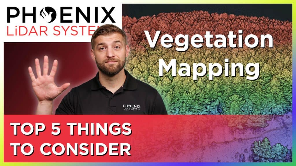
LiDAR Mapping Through Vegetation - 5 Tips You Should Know!

Mapping accurately through vegetation is challenging. And while photogrammetry can be used for bare earth mapping, it is not nearly as effective as LiDAR for mapping through thick vegetation. In this video, Kory Kellum of Phoenix LiDAR Systems explains the best way to map surfaces with vegetation and provides five points for you to consider when you are looking at solutions to map through vegetation.
Share
0

Related posts

LiDAR mapping solutions Custom 3D Mapping Solutions
January 4, 2023

How To Strip Match LiDAR Like A Pro


Read more
LiDAR mapping solutions Custom 3D Mapping Solutions
January 4, 2023

Drone LiDAR Point Cloud Classification


Read more
LiDAR mapping solutions Custom 3D Mapping Solutions
December 20, 2022

Problem Surveyors Face with LiDAR Data


Read more

Comments are closed.


contact us

Phoenix LiDAR Systems
2113 Wells Branch Parkway
Building 1, Suite 4000
Austin, TX 78728

P: +1 (323) 577-3366

Monday-Friday
9:00 am – 5:00 pm CDT

quick links

LiDAR Systems Overview
View Sample Data
View Webinars
Get in Touch With Us
Request A Quote
Privacy Policy
Terms and Conditions

Subscribe to Our Newsletter

© 2022 Phoenix LiDAR Systems. All Rights Reserved.