
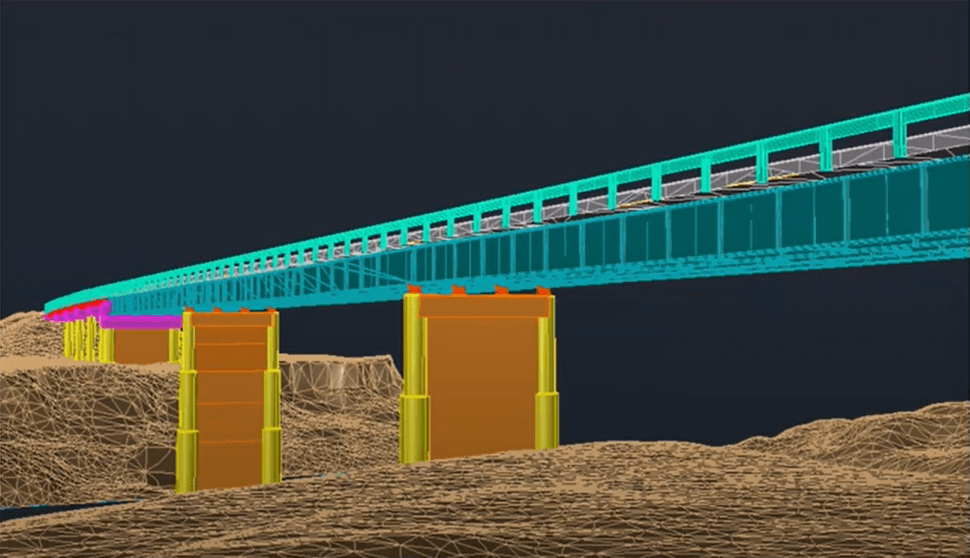
UAV and LiDAR have transformed the surveying industry by offering large area mapping at scale. In this month’s webinar Phoenix Lidar Systems we explore the process, strengths, and limitations of aerial surveying with high performance LiDAR. Learn the basics and benefit from hearing from the real world experiences of Pape-Dawson Engineers as they review their decisions and experiences from launching a successful aerial LiDAR program.
High Performance LiDAR with Aerial Surveying
Fill Out the Form to Download the Resource
Table of Contents
Related Posts


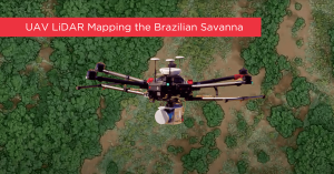
Monitoring the Brazilian savanna with lidar and RGB sensors onboard remotely piloted aircraft systems
May 19, 2023In 2017, an international team of Brazilian and U.S. scientists used two UAVs, including a Phoenix LiDAR system, to monitor…
The LIDAR System Transforming R.A. Smith’s Workflows
November 22, 2023In the rapidly evolving world of surveying and civil engineering, technology plays a pivotal role in determining the efficiency and…
