
Join us for an intriguing webinar alongside Jeff Rizza of DJ&A to explore a unique UAV LiDAR project they completed for NASA and MSU earlier this year! As a contributor to the NASA SnowEx program, DJ&A used a Phoenix LiDAR system to capture highly detailed point clouds of snow surfaces that will be used by scientists for snow dynamics research. You won’t want to miss this one! Stick around until the end for a sneak peak on DJ&A’s upcoming white paper comparing UAV LiDAR and photogrammetry for topographic mapping!
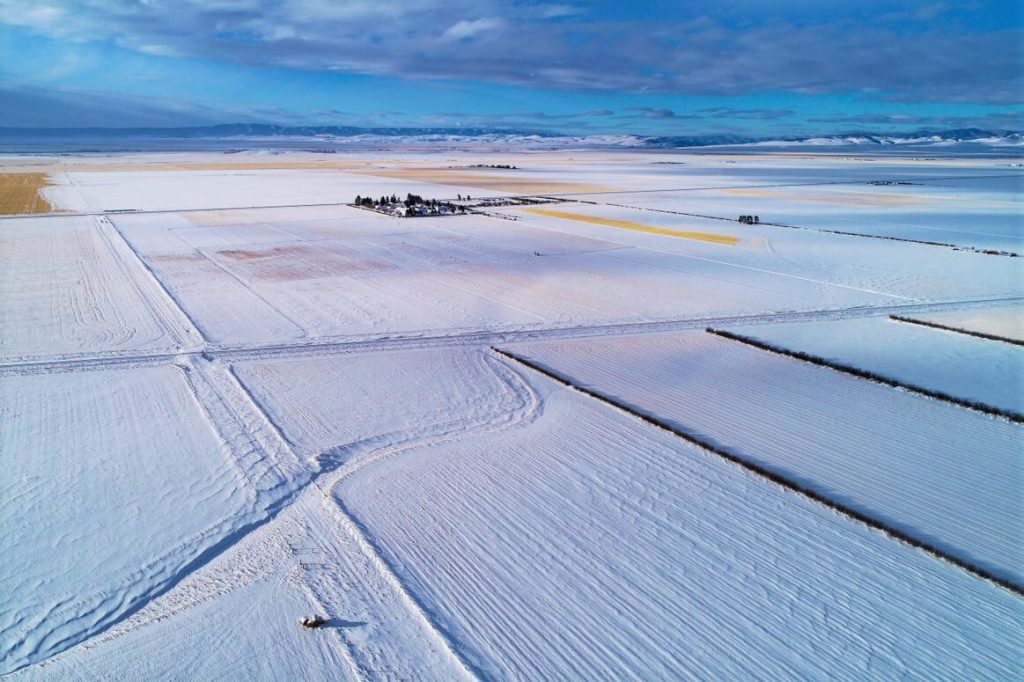
LiDAR Snow Surface Mapping for the NASA SnowEX Program
falsefalse
Fill Out the Form to Download the Resource
Table of Contents
Related Posts

UAS LiDAR System Considerations – Watch Our Presentation from The 2020 Oregon UAS Summit!
November 6, 2020On October 27th, our lead geomatics engineer, Kory Kellum, presented at the 2020 Oregon UAS Drone Summit. In his presentation…
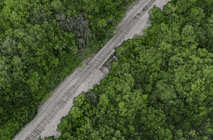
MiniRANGER-3 LITE | Rail
March 25, 2024Point Density: 473 points per m^2Height: 60 m AGL (approx.)Speed: 6 m/sData Acquisition Time: 8 minutes
What Is Survey Grade LiDAR?
October 10, 2022The term "survey grade" is often used when referencing LiDAR data, but what does it really mean? Is there a…
