
KEY FEATURES


The HALO series LiDAR scanners are made for high-altitude, high-efficiency mapping. City-scale LiDAR projects are easily achievable with swath widths reaching 5,150 m. Selectable measurement rates up to 1600 kHz and line speed up to 250 per second can be tuned to meet challenging pulse density specifications.
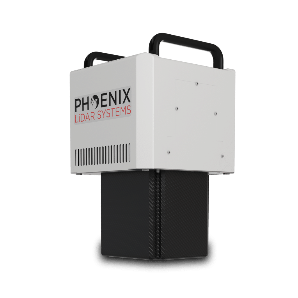
The HALO-V is available in two different models; the HALO-15V and the longer-range HALO-30V.
Full specifications
(1) Approximate values based on PLS test methods described at https://docs.phoenixlidar.com/accuracy-standards-and-quantification
(2) Using a 80° max downward field of view.
(3) Expected RMSEz when following the PLS recommended acquisition & processing workflow and ASPRS checkpoint guidelines.
(4) Flat surfaces with >20% reflectivity at the laser’s wavelength.
(5) Estimated post-processed
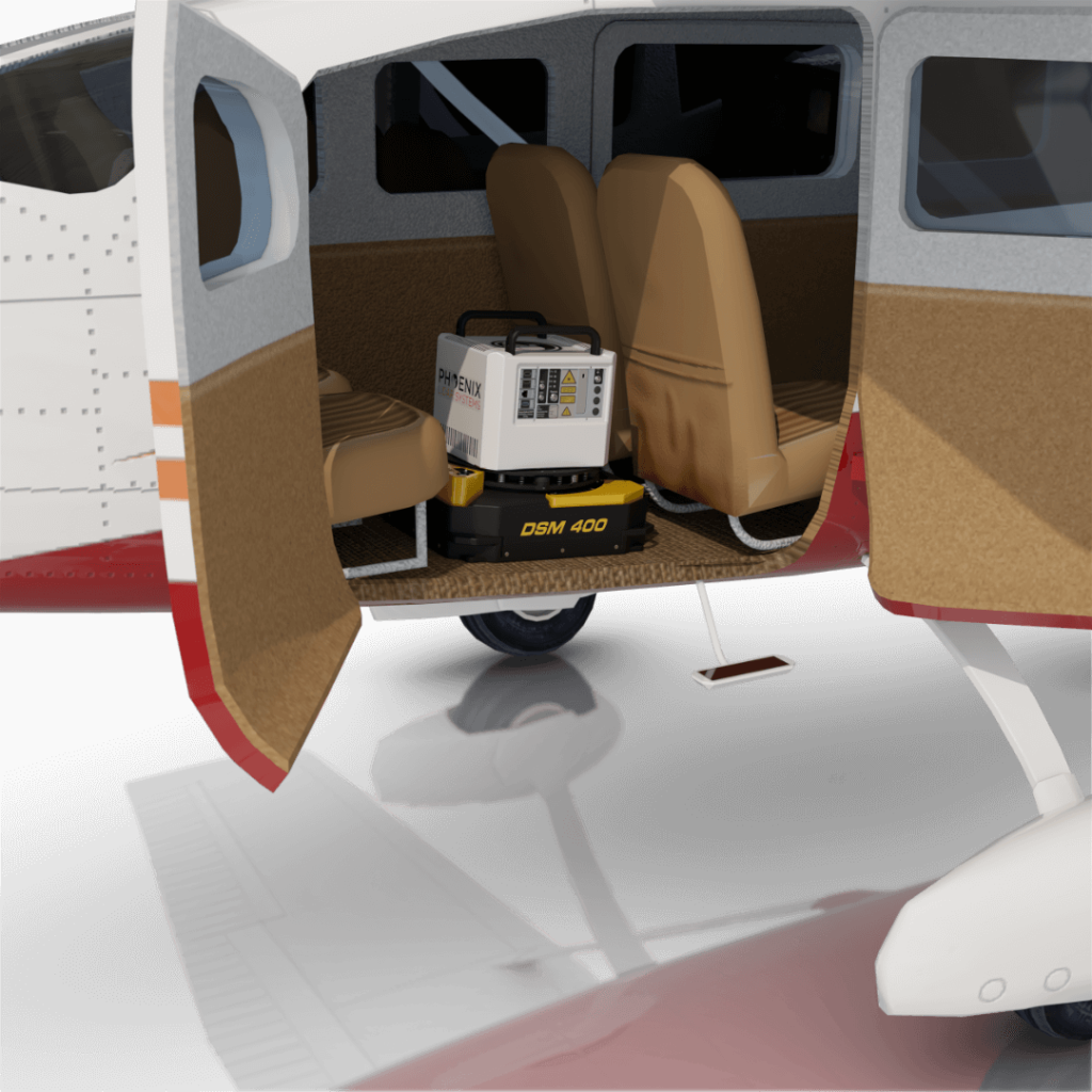
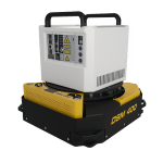
Accessories & Options
Dimensions
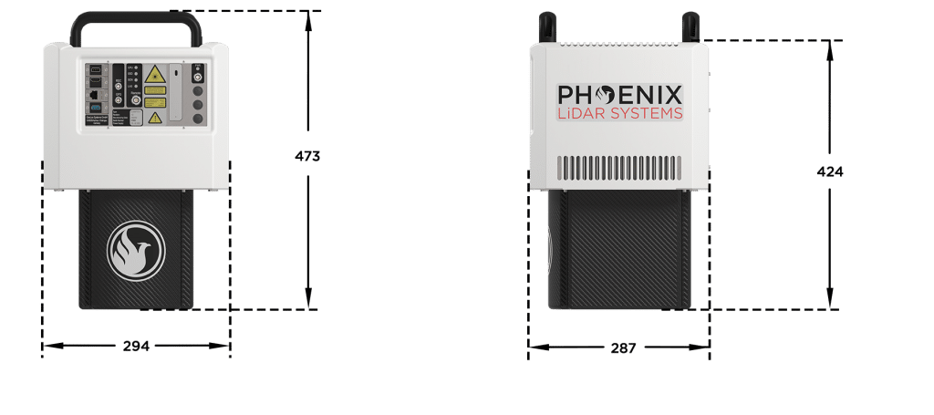
FRONT/LEFT
BOTTOM
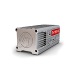
Laser Scanner
LEFT SIDE
Power Button
CPU Status LED
Antenna 1/2

REAR/RIGHT
REAR
Power Button
Status LED
GPS Antenna 1-2
USB
Ethernet


LiDARMill enables surveying teams to take advantage of precision laser mapping without investing in expensive software & training.