
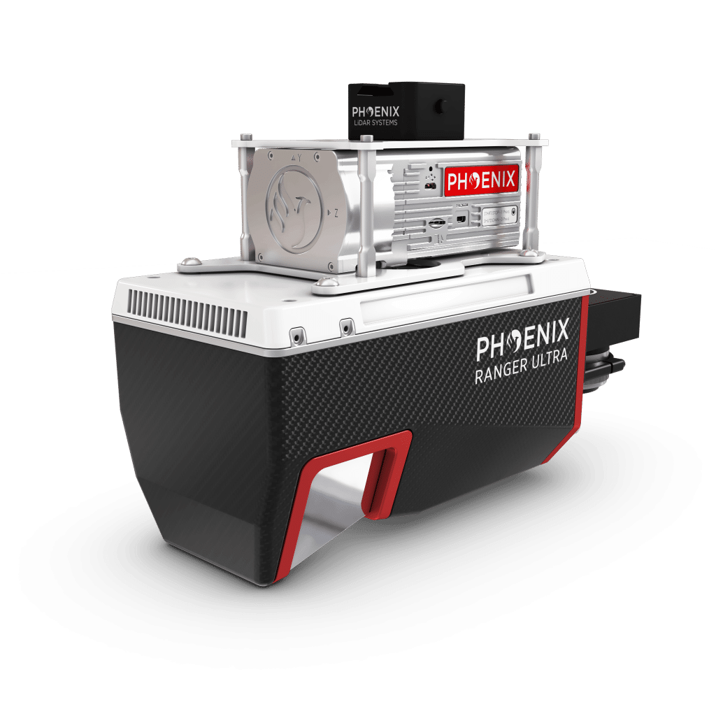
RANGER-U12023
KEY FEATURES


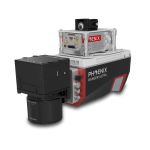
The RANGER-U12023 is an airborne laser scanner with an impressive combination of weight, range, accuracy and pulse rate. It is equipped with a unique forward and rear looking field of view, designed to minimize laser shadowing and provide geometry on complex vertical structures on a single pass. With its wide field of view of 100 degrees and an extremely fast pulse repetition rate of up to 2400 kHz, the RANGER-U12023 is perfectly suited for high point density corridor mapping applications such as power line, railway track, and pipeline inspection.
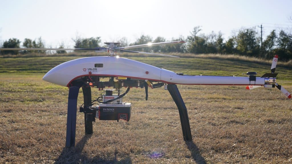
Phoenix LiDAR offers several RANGER-U12023 camera accessories as well as UAV and manned aircraft attachment options.
Check out the spec sheet to learn more about this amazing addition to the RANGER series!
Full specifications
1) Rounded average PRR.
2) Typical values for average conditions and average ambient brightness. In bright sunlight, the max. range is shorter than under an overcast sky.
3) The maximum range is specified for flat targets with size in excess of the laser beam diameter, perpendicular angle of incidence, and for atmospheric visibility of 23 km.
Range ambiguities have to be resolved by multiple-time-around processing.
4) Effective FOV 100°, additional roll angle ± 5°.
5) If the laser beam hits, in part, more than one target, the laser‘s pulse power is split accordingly. Thus the achievable range is reduced.
Accessories & Options
Dimensions

FRONT/LEFT
FRONT
Laser Scanner
LEFT
USB
SD Card

REAR/RIGHT
REAR
Power Button
Status LED
GPS Antenna 1-2
Air NavBox
WiFi
Camera Mounting
RIGHT
Accessory Mounting


LiDARMill enables surveying teams to take advantage of precision laser mapping without investing in expensive software & training.