
RANGER-U16023

KEY FEATURES


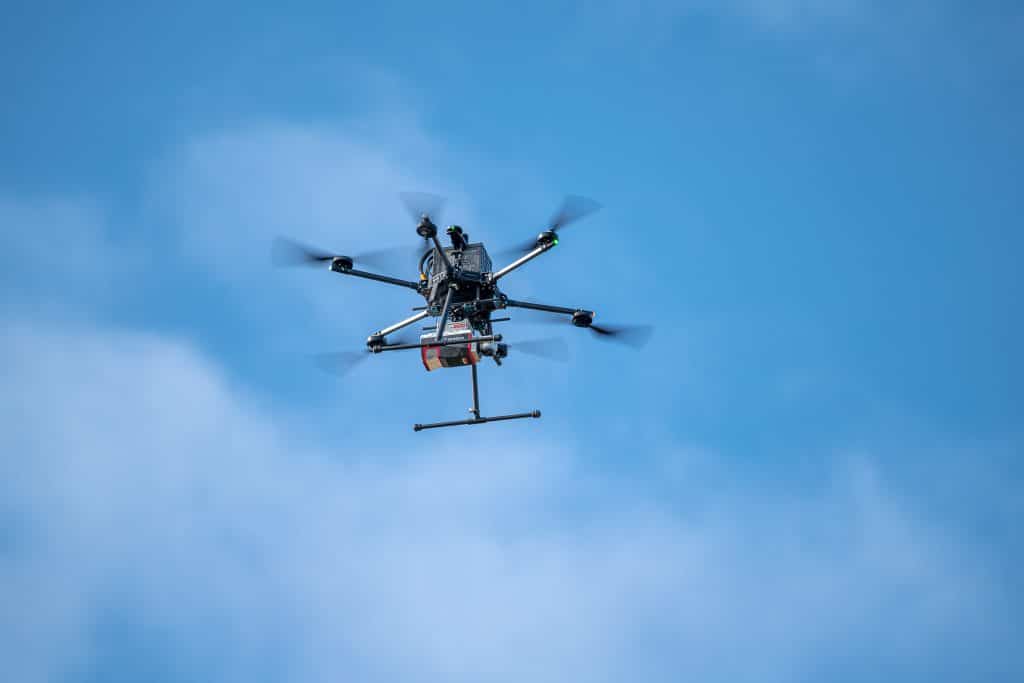
The RANGER-U16023 adds range and density capabilities to an already unrivaled mapping system. Its unique forward and rear looking field of view was designed to minimize laser shadowing and provide a high level of detail on vertical surfaces.
Pulse rates up to 2400 kHz and the ability to be carried by a variety of aircraft make this a highly versatile system that is suitable for mapping at various scales in order to meet your unique project objectives.
The RANGER-U16023 is ideal for corridor mapping applications such as utility, rail and pipeline inspection.
Full specifications
(1) Approximate values based on PLS test methods described at https://docs.phoenixlidar.com/accuracy-standards-and-quantification.
(2) Using a 90° downward field of view.
(3) Expected RMSEz when following the PLS recommended acquisition & processing workflow and ASPRS check point guidelines.
(4) Flat surfaces with >20% reflectivity at the laser’s wavelength.
Accessories & Options
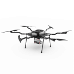
Dimensions

FRONT/LEFT
FRONT
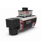
Laser Scanner
LEFT
USB
SD Card

RIGHT/REAR
REAR
Power Button
Status LED
GPS Antenna 1-2
Air NavBox
WiFi
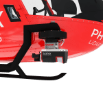
Camera Mounting
RIGHT
Accessory Mounting


LiDARMill enables surveying teams to take advantage of precision laser mapping without investing in expensive software & training.