LiDAR Solutions
for Today’s Generation of Surveyors &
Tomorrow’s Challenges
Multi-Platform
Real-Time Point Clouds
Multi-Application

Industry Pioneers in Aerial LiDAR Surveying
PHOENIX LIDAR SYSTEMS is a pioneer in the design and development of compact, flexible, survey-grade 3D laser mapping solutions. We teamed with Velodyne to develop the first UAV LiDAR integration prototype, introduced the first real time point cloud visualization software, and launched the first fully automated, cloud based LiDAR post processing solution.
Global Leader in Commercial UAV LiDAR Mapping Solutions
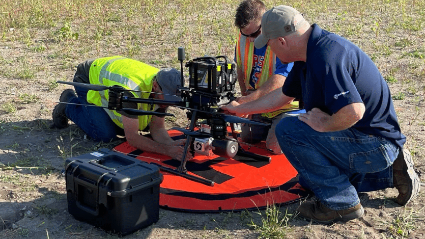
Phoenix LiDAR systems are developed to be durable and adaptable, ensuring they are able to meet the ever-changing demands of your aerial LiDAR mapping project.
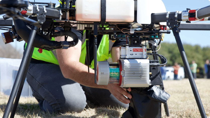
Phoenix LiDAR payloads are designed to easily integrate with multiple platforms including multi-rotor and fixed wing VTOL UAS, ground vehicles, backpacks, manned aircraft, and boats, allowing data collection across a wide range of applications.
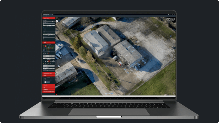
Phoenix LiDAR Systems offers the most streamlined software solutions in the industry. From planning and acquisition to hosting and delivery, our fully-automated cloud post-processing software provide a simple yet powerful start to finish workflow.
Phoenix LiDAR Systems produces the most advanced LiDAR solutions in the world. Each system is purposely built to meet our customer’s individual requirements. Solutions can be integrated as standard configurations, or customized with specialized component upgrades.
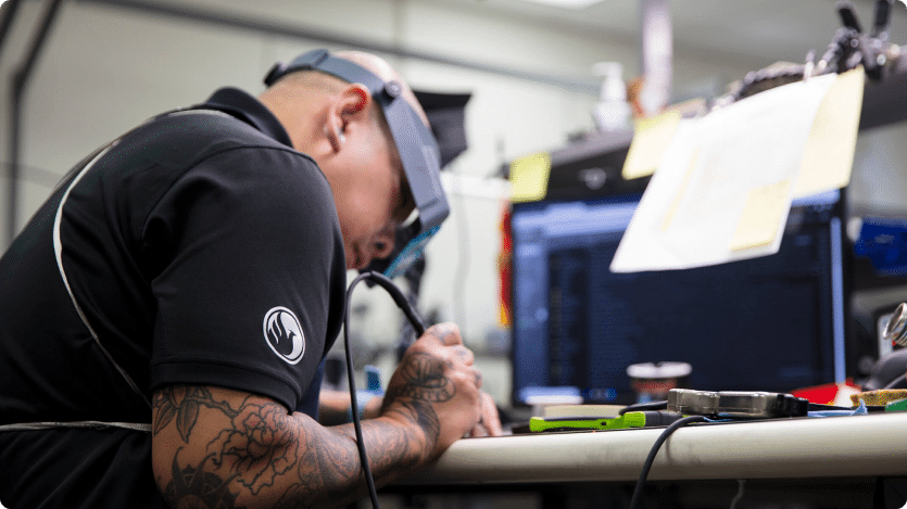
Phoenix LiDAR Systems offers dedicated U.S. based support with unparalleled response times. We serve our customers through personalized hands-on product training from our expert engineers, pilots, and geospatial professionals.
Applications


LiDARMill enables surveying teams to take advantage of precision laser mapping without investing in expensive software & training.