
Webinars
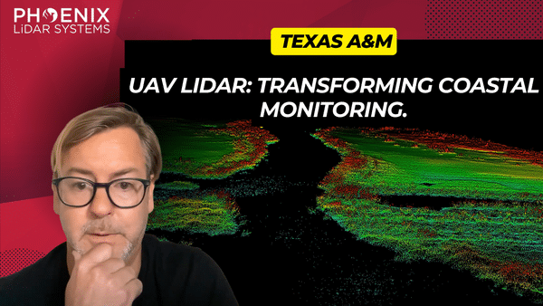
In the rapidly evolving world of geomatics, LiDAR technology stands out as a revolutionary tool for detailed vegetation and terrain analysis. This video dives deep into a comprehensive research paper that pits two prominent LiDAR sensors against each other: the VUX and the Avia sensors. With a focus on their performance, precision, and application in various scenarios, we aim to provide viewers with a clear understanding of which sensor reigns supreme.
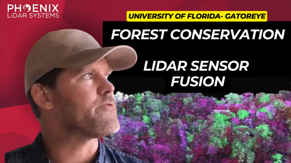
In the ever-evolving realm of remote sensing, the study and understanding of our natural environment have taken leaps and bounds. Leading this revolution is the integration of LiDAR technology with drones, a combination that is redefining the way we perceive and analyze forests. This video delves deep into the advancements in forest analysis, particularly focusing on the groundbreaking work of Eben Broadbent and his research program, GatorEye.
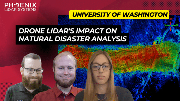
In the ever-evolving world of technology, LiDAR (Light Detection and Ranging) has emerged as a groundbreaking tool, especially in the realm of natural disaster research. The RAPID Facility, an integral part of the Natural Hazards Engineering Research Infrastructure (NERI) network, has been at the forefront of harnessing this technology. Their mission? To support researchers in collecting invaluable data on natural disasters, offering insights that were previously unimaginable.
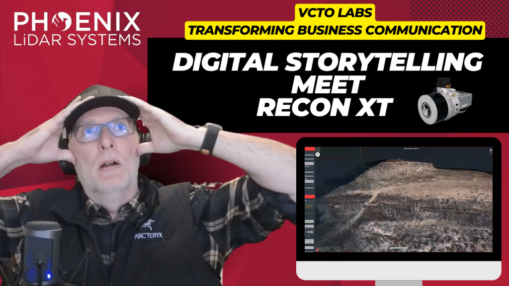
Join Pete Kelsey, the visionary owner of VCTO Labs, as he unveils the transformative power of 3D virtualization and LiDAR technology in storytelling. With a rich portfolio that spans the mysterious Easter Island to the historic USS Arizona in Pearl Harbor, Pete has mastered the art of bringing data to life through visually stunning 3D models. This video explores the intricate process and the remarkable outcomes of using LiDAR and 3D models to captivate and engage audiences worldwide.
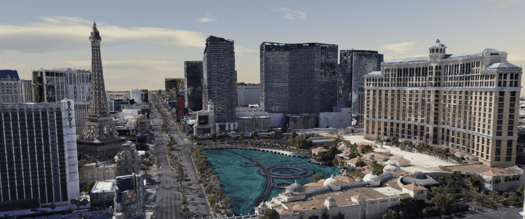
As most of you are undoubtedly aware, COVID-19 pandemic concerns have forced many businesses including all casinos along the Las Vegas strip to temporarily shut their doors. Since everyone is now advised to stay away from this area, the Phoenix LiDAR team would like to give you the next best thing – a virtual tour! Check out a beautifully colorized LiDAR scan of the Las Vegas strip collected with our Phoenix Ranger LR solution and multi-camera array by manned helicopter.
We have also included another data set to share what is possible when you utilize LiDAR data as a baseline for ground and flat surfaces, to enhance dense image matching within a third party product like Context Capture to create a robust mesh model.
There were no interiors scanned this time around. So, sadly there will be no table games or showgirls on this particular tour. However, please enjoy this impressive data set, and experience the majesty of the Vegas strip safely from your home! Happy touring and stay safe out there!
We’re excited to announce the release of LiDARMill v2! LiDARMill v2 takes automated post-processing to the next level. In our recent webinar, we covered some of the new improvements and features including:
- Imagery Processing in LiDARMill
- Ground Control Reporting and Adjustments
- Robust Coordinate System Handling
- A Workflow Overview and Demonstration
- Multi-Mission Processing Support
- Advanced Point Cloud Filtering Options
- RGB Thermal & Fusion
- Accuracy Reporting
- Automated LiDAR and Camera Calibration Options
- Near-Real Time (NRT) Reference Station Positioning for Projects Requiring Less Than 24 Hour Turn-around Time
- Trajectory Post-Processing Without Reference Stations
If you have any questions or would like to learn more about LiDARMill v2, please don’t hesitate to get in touch. We’d be happy to help!
We’re happy to announce the release of SpatialSuite 5.0! Make sure to check out our webinar led by Post Processing Manager, Conrad Conterno, to learn about the many, powerful new tools and features. In this webinar we cover:
- The .cloud format
- LiDARSnap Plugin
- CameraSnap Plugin
- Classification/Point Filtering Plugin
- Exporting Vector and Raster Products
- System Visualization Tools
- Other New Features (i.e. RXP to SDCX converter, LAS Viewer, and more.)