• 323.577.3366
  • Info@PhoenixLiDAR.com
PhoenixLiDAR Logo WhitePhoenixLiDAR Logo WhitePhoenixLiDAR Logo WhitePhoenixLiDAR Logo White
  • Hardware
    • Solutions Overview
    • (NEW) HALO-H10
    • RANGER
      • HydroRANGER
      • (NEW) RANGER-ULTRA+
      • RANGER-ULTRA
      • RANGER-XL
      • RANGER-LR LITE
    • PIONEER-360
    • MiniRANGER
      • MiniRANGER-3 LITE
      • MiniRANGER-LITE
    • SCOUT
      • SCOUT-M2X
      • SCOUT-ULTRA
      • SCOUT-32
      • SCOUT-16
    • RECON
      • RECON-XT
      • RECON-A
  • Software
    • FlightPlanner
    • SpatialExplorer
    • LiDARMill
    • MissionGuidance
  • Learn
    • LiDAR Sample Data
    • Case Studies
      • Rail
      • Mobile Mapping
      • Helicopter
      • Oil & Gas
      • Surveying & Engineering
    • Webinars
    • Videos
    • Learn about LIDAR
    • Applications
    • LiDAR Principles
  • Company
    • Company Overview
    • Customer Testimonials
    • News
    • Press Releases
    • Careers
  • Contact
    • Contact Us
    • Support
      • Teamviewer Download
      • Help Center
    • Request Quote
    • Feature Requests/Feedback
  • Log in
✕
LiDAR mapping solutions Custom 3D Mapping Solutions
NEW Bathymetric LiDAR System, the HydroRANGER
June 7, 2022
LiDAR mapping solutions Custom 3D Mapping Solutions
FREE 1 Year Subscription to LiDARMill Post-Processing Software!
August 11, 2022

How to Choose the Right System for Long-Range LiDAR Mapping

July 5, 2022
Categories
  • Product Highlights
  • Videos
Tags
Untitled design 2022 06 30T104938261


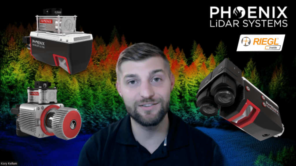
How to Choose the Right System for Long Range LiDAR Mapping

Kory Kellum with Phoenix LiDAR Systems helps you choose the right tool for the right job when it comes to high altitude lidar mapping, with an in depth product review of The RANGER Series. The RANGER-XL, RANGER-Ultra and RANGER-LR are all top performers when it comes to precision, accuracy, long ranging capability, and point density; However, the intrinsic differences in their technologies should be explored to understand how those differences warrant the use of one over the other for certain applications.
Share
0

Related posts

LiDAR mapping solutions Custom 3D Mapping Solutions
January 11, 2023

LiDAR Mapping Through Vegetation


Read more
LiDAR mapping solutions Custom 3D Mapping Solutions
January 4, 2023

How To Strip Match LiDAR Like A Pro


Read more
LiDAR mapping solutions Custom 3D Mapping Solutions
January 4, 2023

Drone LiDAR Point Cloud Classification


Read more

Comments are closed.


contact us

Phoenix LiDAR Systems
2113 Wells Branch Parkway
Building 1, Suite 4000
Austin, TX 78728

P: +1 (323) 577-3366

Monday-Friday
9:00 am – 5:00 pm CDT

quick links

LiDAR Systems Overview
View Sample Data
View Webinars
Get in Touch With Us
Request A Quote
Privacy Policy
Terms and Conditions

Subscribe to Our Newsletter

© 2022 Phoenix LiDAR Systems. All Rights Reserved.