

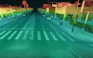
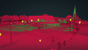
What Is Survey Grade LiDAR?
The term “survey grade” is often used when referencing LiDAR data, but what does it really mean? Is there a precise, universally accepted measurement for “survey grade”, or does it vary? In this video, Kory Kellum of Phoenix LiDAR Systems talks about what makes LiDAR data “survey grade”, when you might need that level of accuracy, and the best solutions to collect “survey grade” LiDAR data.
